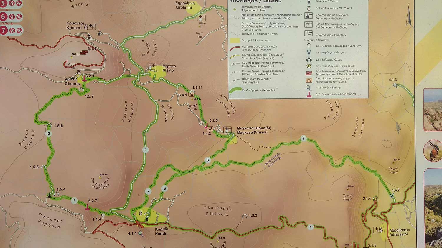
Walking on one of the most beautiful paths of eastern Crete, through black pine forests.…
Karidi – Honos – Vrisidi
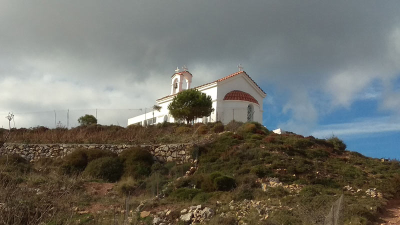
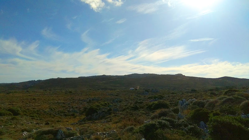
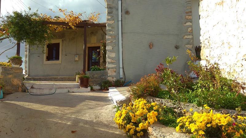
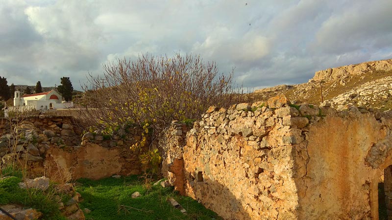
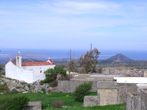
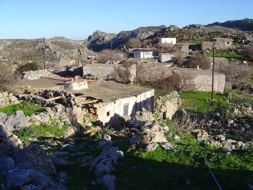
Our route starts from Karidi village at 600 meters altitude. As we walk a few hundred meters west of the settlement on our left begins the path that after 1700m and 30 minutes walking on a distinct stone-built path we reach the chapel of Agios Ioannis. The scenery is impressive and we have a great view to the east (Karidi village) as we climb the path. The chapel of Agios Ioannis stands in a prominent spot and there is also the cave “Ano Peristera” nearby. 50m north of the chapel there is a relevant sign if you want to visit this cave.
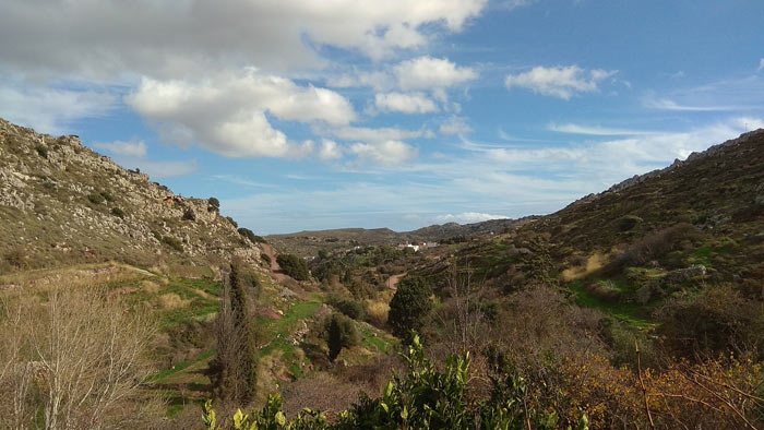
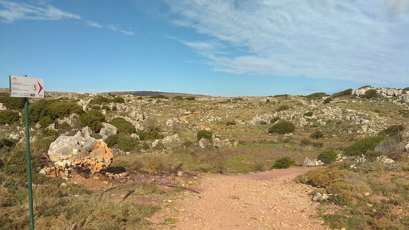
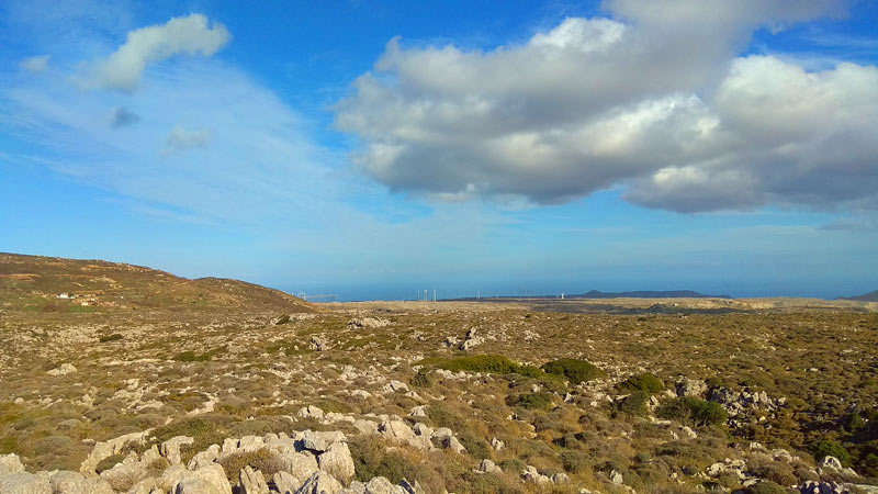
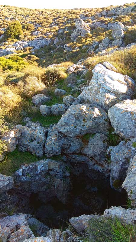
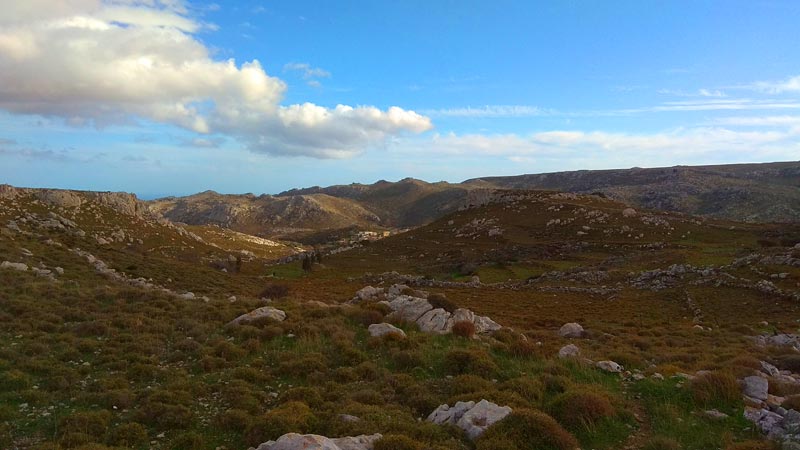
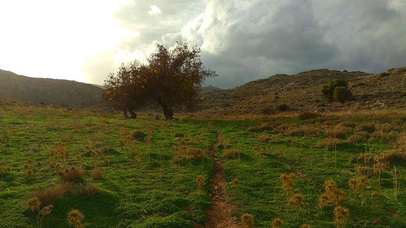
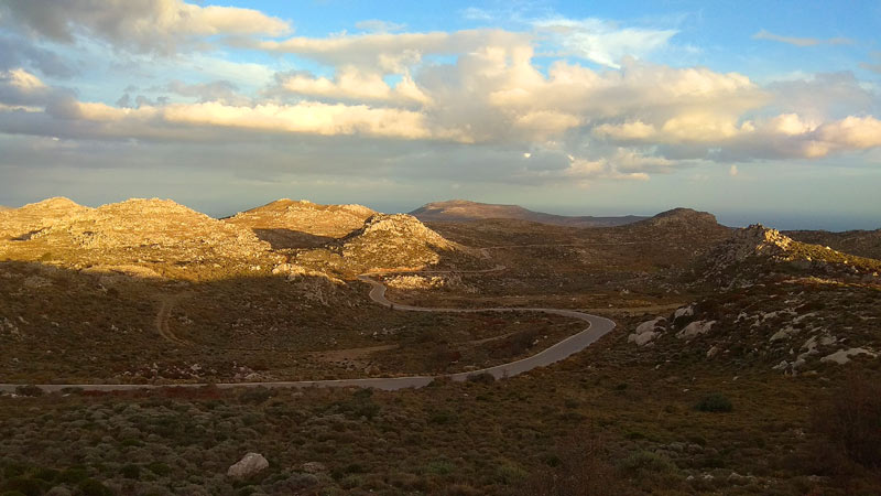
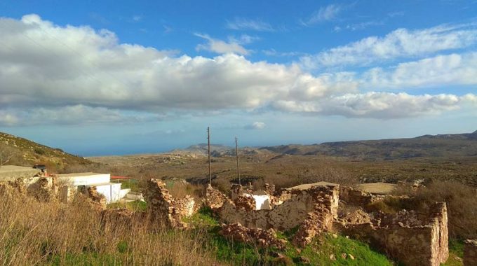
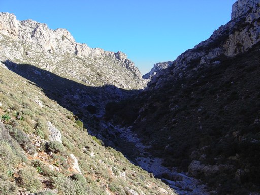
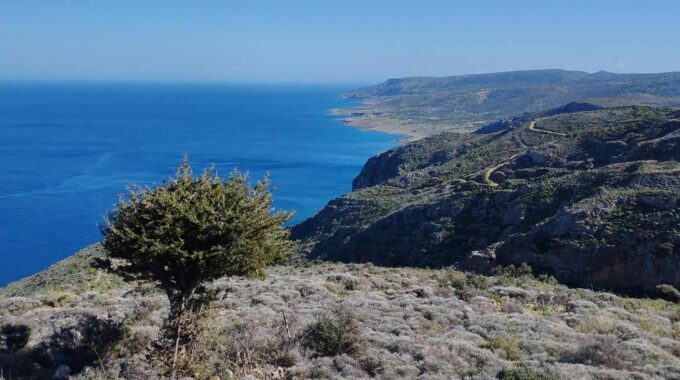
We continue north for about 200-300m from the chapel. There is a dirt road that stops a bit further to north and we are forced to stp out of the road and to go without a trail or any marks in the north. On the relevant website of Sitia Geopark, there is a short description of the route, but unfortunately we did not find any signage to help us cross the 2 km distance that separates us from the village of Chonos. So we just walk in the north direction knowing that we will not face any problems as we see the hill of Chonos (and the village) in front of us. There are two caves – chasms in this part, but there are no legible signs to find them. We were particularly troubled and needed a lot of luck to find the second cave (Plativola Cave), 1000m before Chonos. This route offers spectacular views across the eastern side of the Mitato plateau.
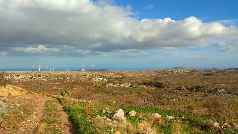
We can see the mountain peak Modi in the northeast with the wind turbines in the area of Xerolimni, the canyon of Adravasti and Traostalo mountain in the east and to the we see south the mountain ridge that connects Zakros area with Ziros Plateau.
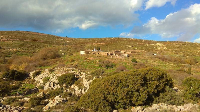
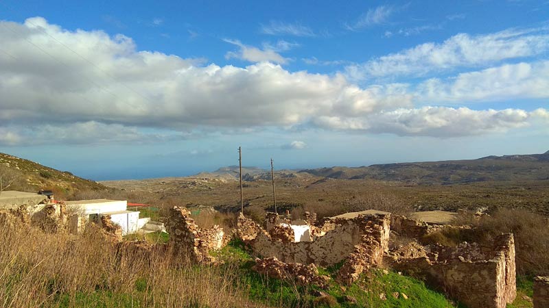
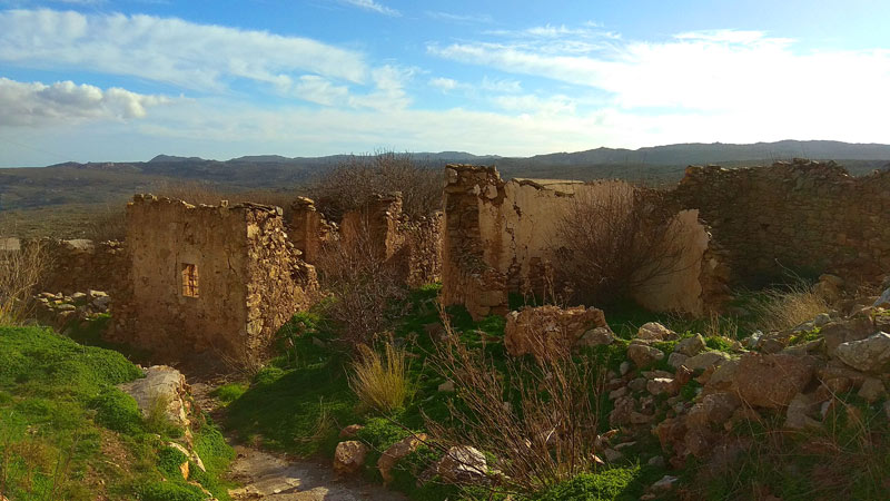
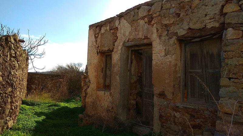
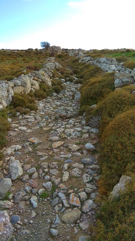
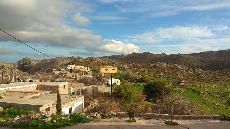
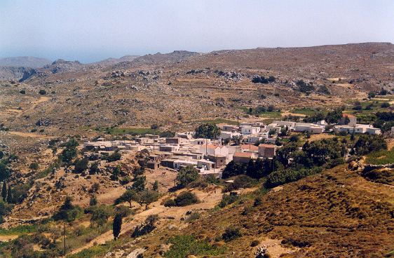
 From Chonos settlement there is a dirt road that leads us to the next village Mitato. It is the easiest part of the route (1,5 km) and this particular dirt road starts at the lower level of the settlement on the eastern side. Passing through the Mitato settlement we continue east for about 800m on a dirt road. Where the dirt road stops we proceed to the old stone-built path that connects Mitato with Vrisidi. The failure to use this path has the result of covering vegetation so it is not easily visible in some places. Although the old way is covered with wild mountain plants, you can still see the left and right stonebuild parts of the path. The route from Mitato to Vrisidi lasts 60 minutes.
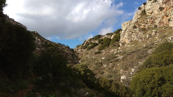
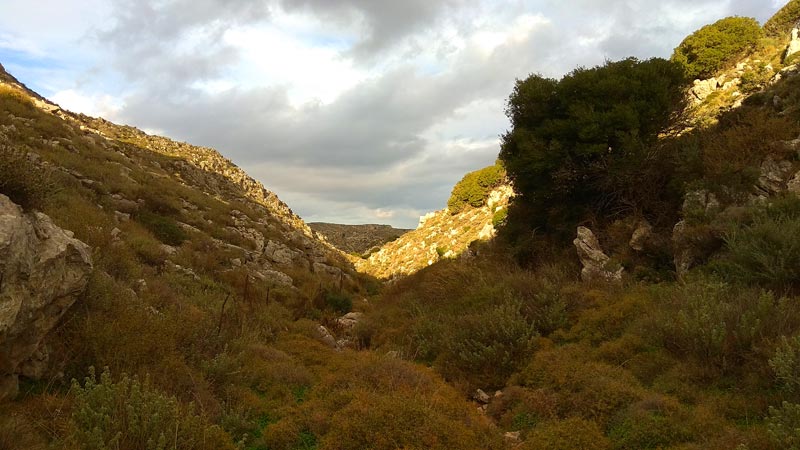
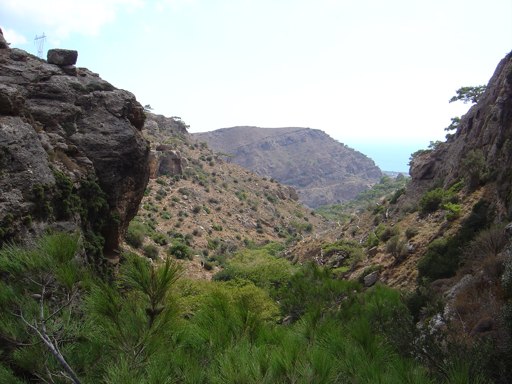
 The last part of the route starts from the southern side of the village of Vrisidi, descending to the riverbed / gorge of Adravasti. It is the canyon that starts from the village of “Adravasti” and ends at Karidi village. There is a path that in the first two kilometers from Vrisidi is quite distinct until we reach the gorge. From that point we chose to cross the last part of the route through the ravine bed to Karidi. The estimated time of passing through is just over an hour.
Additional Info
Altitude: Lowest point : 470 (Riverbed after Vrisidi) – Highest point: 700 m (close to Plativola cave)
Starting Point: Karidi Village
Path Type: Dirt road – old stone-paved paths – No marks, No trail from Agios Ioannis to Chonos (for 2km_
Difficulty: Moderate
Walk distance: 11 kms : 4-5 hours
Sitia Geopark
The Natural Park of Sitia is on the easternmost edge of Crete, in the Municipality of Sitia. It covers the…
Adravasti Gorge
It is the most unknown gorge of Palekastro - Zakros region. Its exit is just 1 km north from Adravasti village…
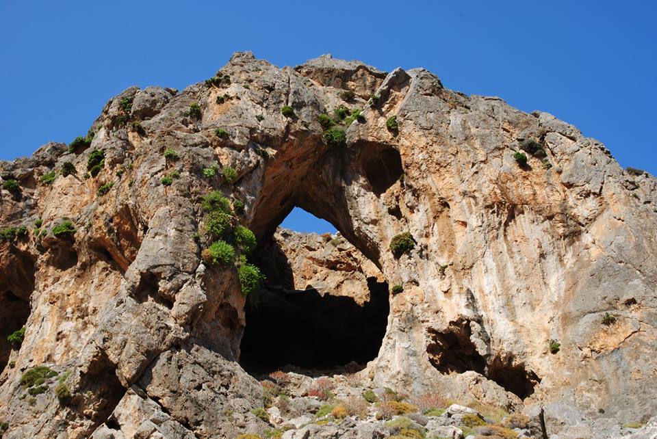
Pano Peristeras Cave
It is one of the biggest caves in Crete. There is an underground river with a mapped length of routes…
During summer, on a daily basis, cars occupied by Greek and overseas tourists arrive at Pefki…
The Gorge of Milonas is located east of Ierapetra, north of the village of Ferma.…
Its entrance is about 200m in the west of the Monastery of Toplou. The landscape is astonishing…
Eastern Crete has dozens of enchanting and unknown destinations that "capture" every visitor, making him…
An easy but spectacular route on the eastern side of the plateau. Almost the entire…
A relatively small but impressive gorge with many changes in its landscape is the unknown…
At the coastal region south of Palm Beach Vai, the nature hides some treasures almost…
We start from Elounda village by car and head west towards the village of Pines.…
Related Articles
This Post Has 0 Comments