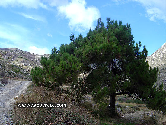
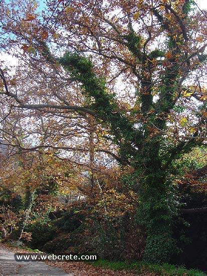
Walking on one of the most beautiful paths of eastern Crete, through black pine forests.…
Orino village – Afentis peak
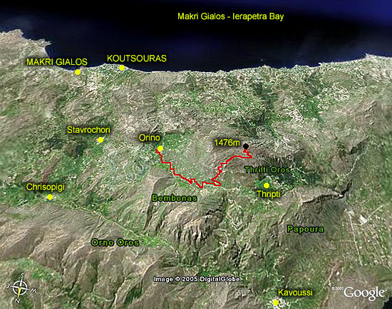
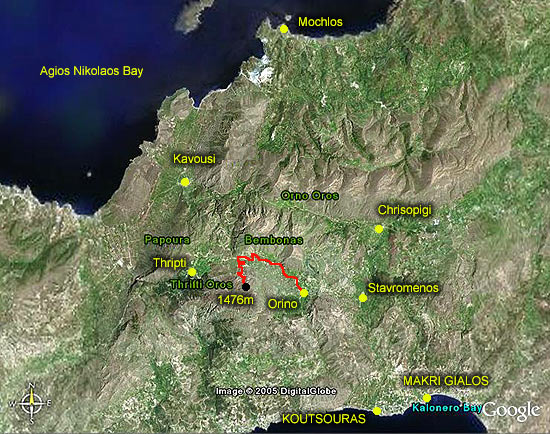
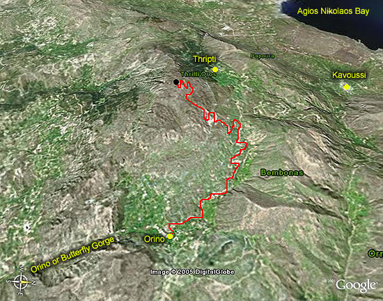
One of the most impressive and important hiking route in east Crete is the one starting from the solitary village Orino (south Crete) and ending to the highest top of Sitian Mountains called Afentis Stavromenos ( 1476 m high).
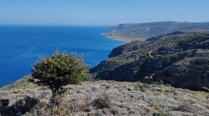
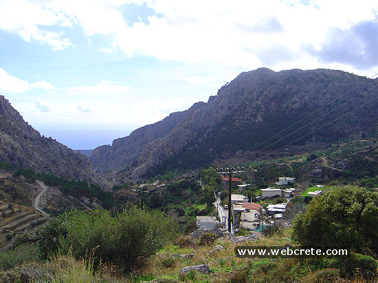
At the south coast of Crete , there is a detour just a few kilometers far from the village of Koutsouras to the west, which leads to the village Orino after driving across a marvelous route of 13 kms on an asphalted road. Orino is hidden behind woody hills and it is 600 m high. There starts our route to the west on a dust road.
After you turn on your left and you walk to the south, in a little while the route gets very uphill.
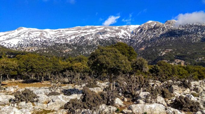
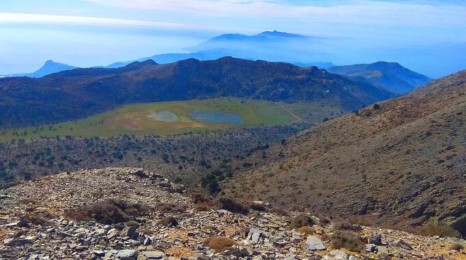
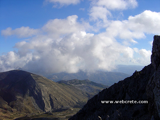
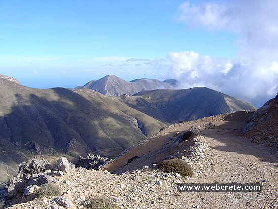
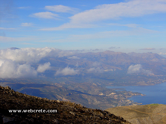
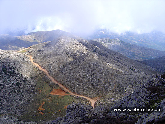
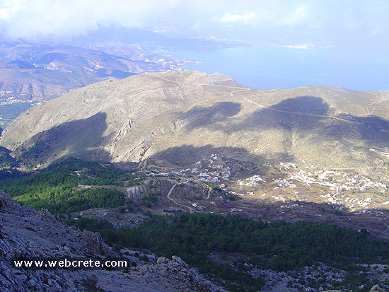
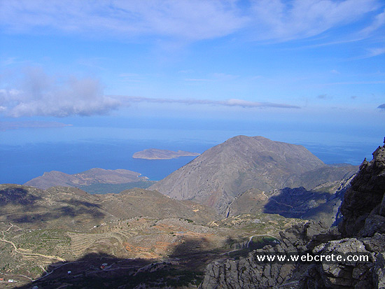
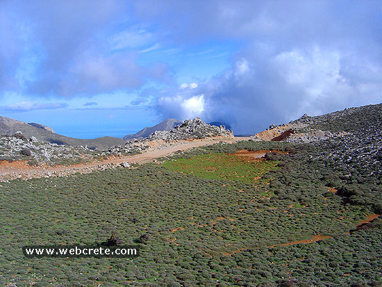
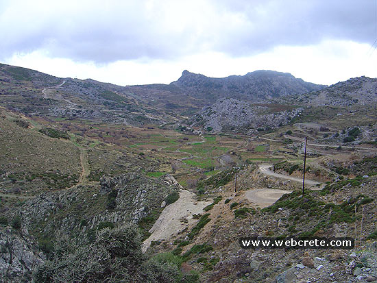
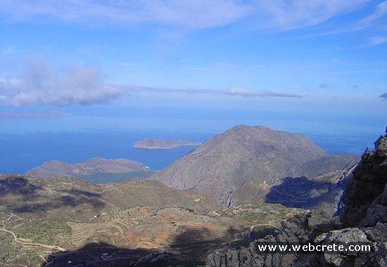
The view is breathtaking and you can see in the gallery, as you ascend all the mountainous area to the east and to the north.
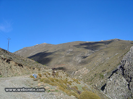
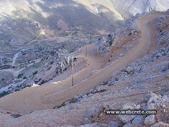
From the crossroad to the top is 5 tough kilometers on continuous zigzags, but when you reach the top you will be recompensed by the wonderful view. The road has been dug on the north side of the mountain and close to the end you reach a small plateau just under the peak.
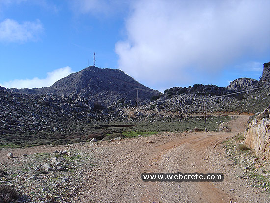
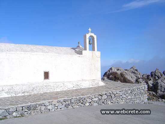
At the peak there is a small temple and a hall for festivals. This hall is used at the festival that takes place every year in September 14 th , the day of celebration of the Holy Cross.
If you have a jeep of any other car suitable for a dust road, you can reach the peak driving. ( 1476 m high). You need to be very careful because the turns are very hilly and bluffed.
If you go on foot you need about 3-4 hours to reach the top and about 3 hours to return, if you always have as a starting point Orino village.
Additional Info
Starting Point: Orino – 16 km from Makrigialos (south coast)
Altitude: 600m – 1476m
Path Type: Non asphalt Road
Difficulty: Difficult
Walk distance: 21 kms : 6-8 hours (Orino – Afentis Stavromenos peak – Orino)
Related Articles