
Walking on one of the most beautiful paths of eastern Crete, through black pine forests.…
Selakano Forest
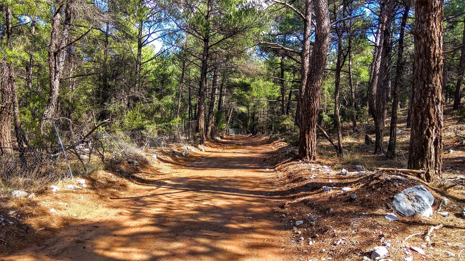
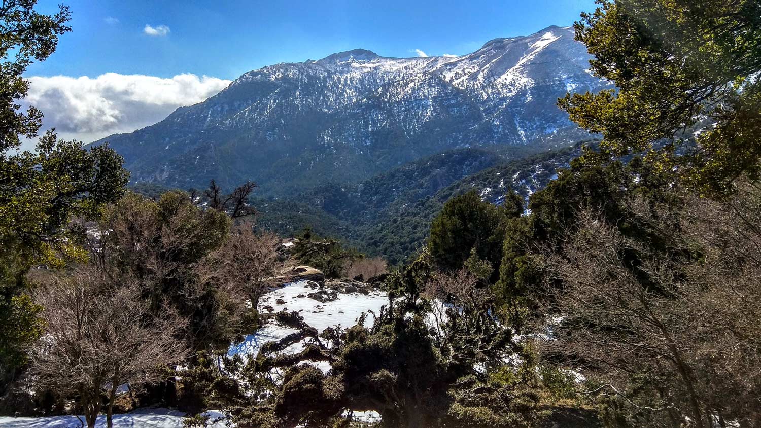
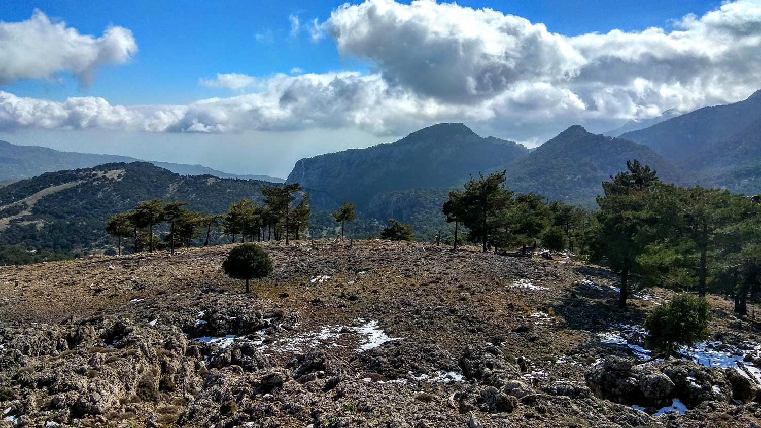
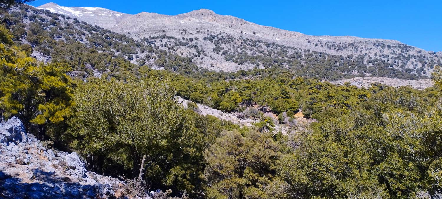
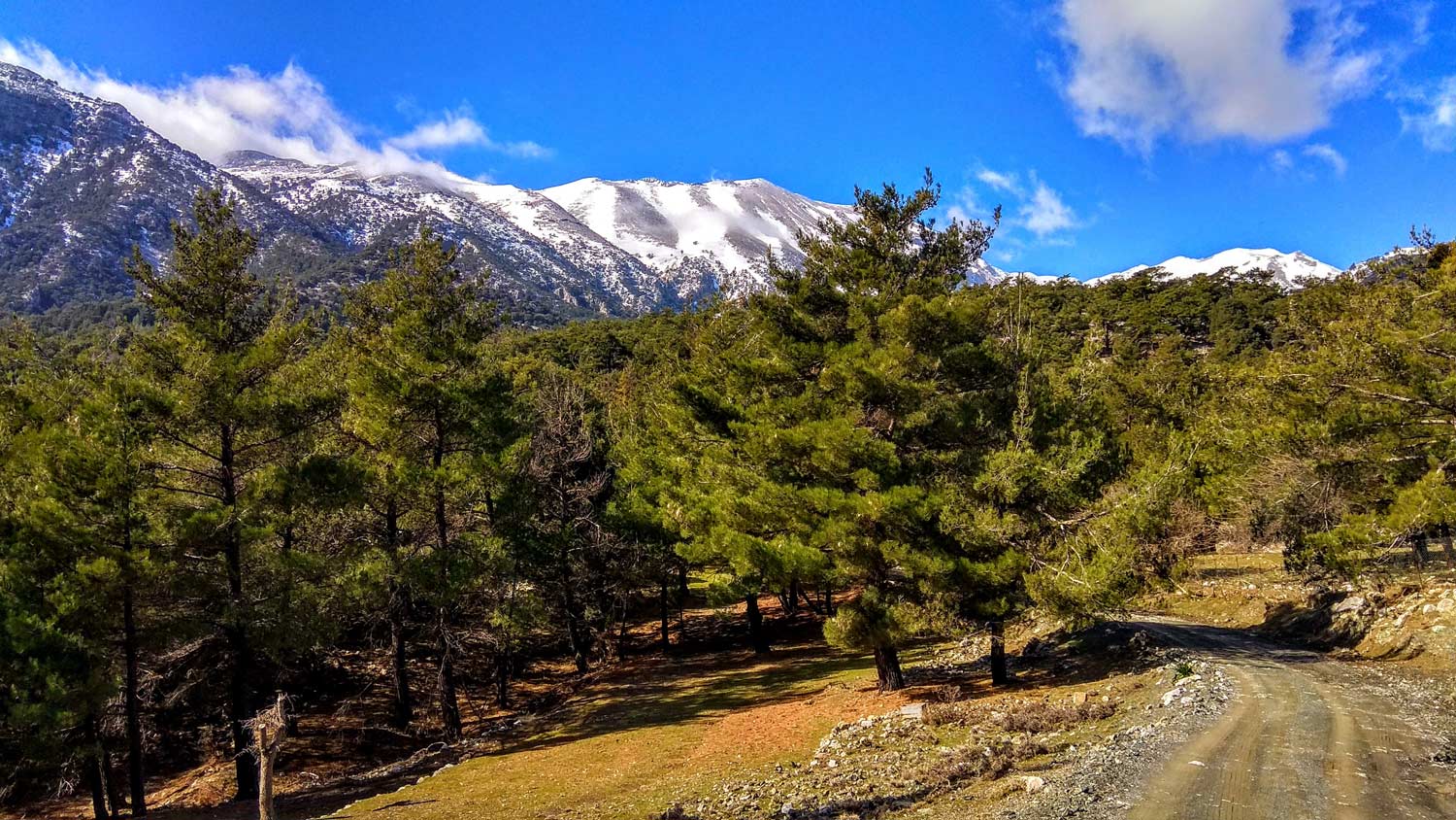
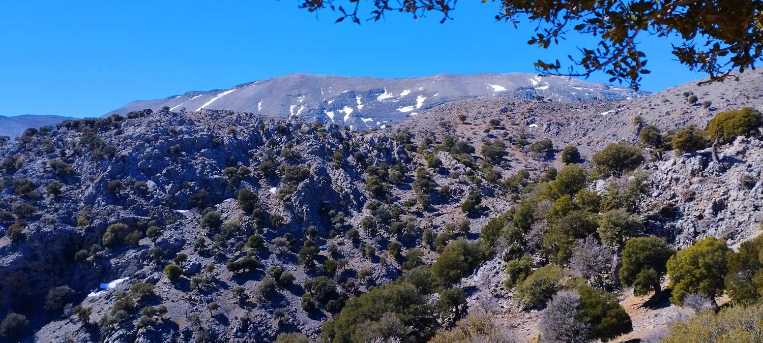
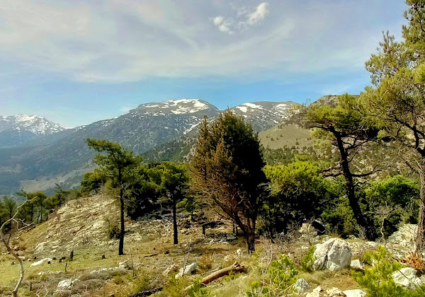
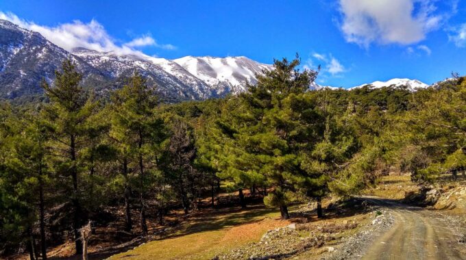
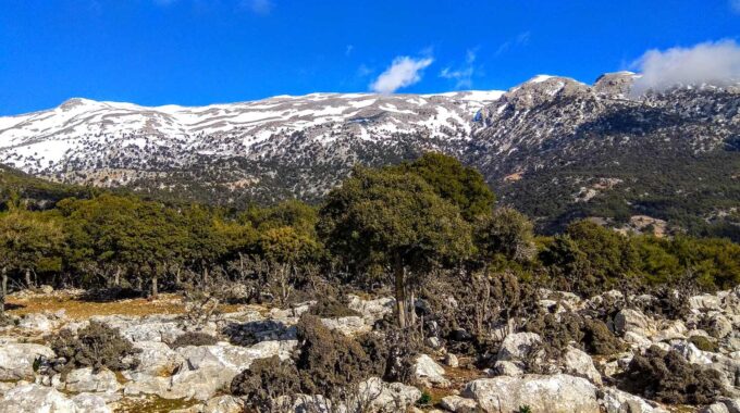
Selakano Forest is an area of wild beauty and one of the most important ecosystems on the island, included in the Natura 2000 network. A pine forest, hidden in a mountain valley, with an impressive access through a gorge and by a asphalt road carved on a rocky cliff overlooking the area of Malles village. From the village of Christos, 15 km north of Myrtos, and some 29 km from Ierapetra, the Selakano Valley and Forest runs on up the slopes below the summit of Afendi Christos and of the Spathi peak and the whole area is surrounded by the four highest peaks of the Lassithi range (To the north: Lazaros 2085m and Spathi 2148m and to the south/west: Afendis Christos 2141m and Psari Madara 2090m).
Composed mostly of the Calabrian pine (Pinus brutia), which is resistant to drought and tolerant of rocky soil, the Selakano ecosystem also includes various oaks, cypress, maple, plane and pear, and sage. Birds of prey (hawks and vultures) soar free over the steep slopes. In the area known as Melissokipos (the Bee-Garden) the bees are a dominant presence and reign over their kingdom. In the spring, the hives’ numbers swell as bee-keepers from almost all over Central Crete bring their swarms here, making the Selakano forest, regards the honey production, the most significant apicultural area on the island.
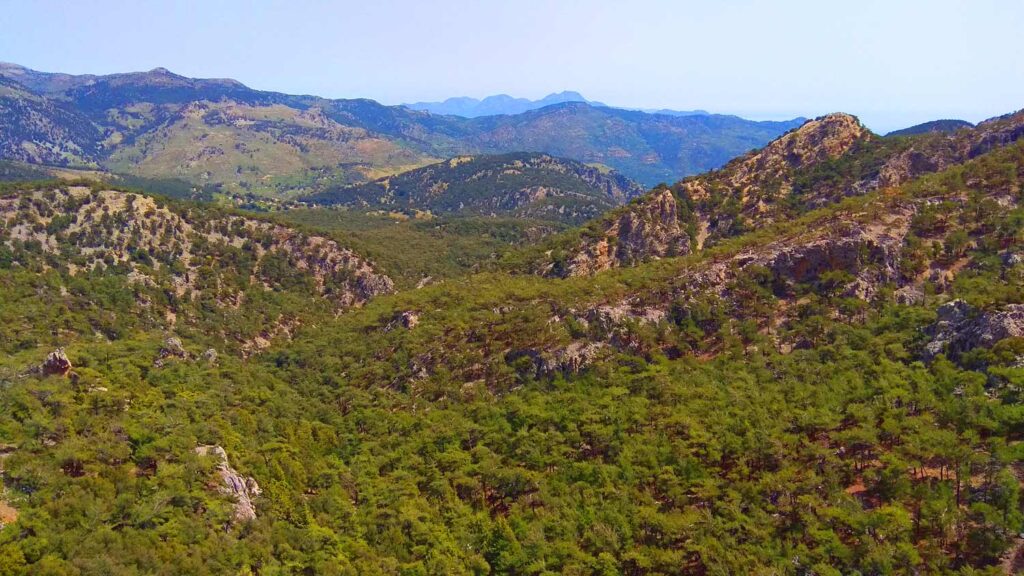
The forest and the wider area of the valley invites us and offers us multiple options for hiking. At least 7 to 8 different routes we can walk in this wonderful natural environment that is unique in Crete.
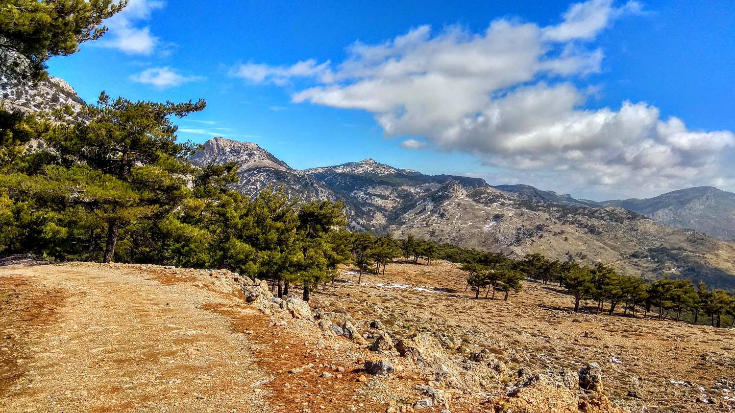
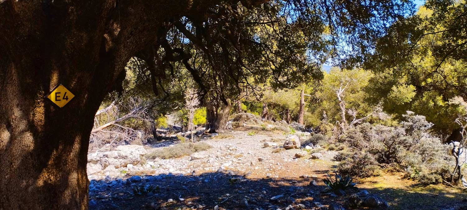
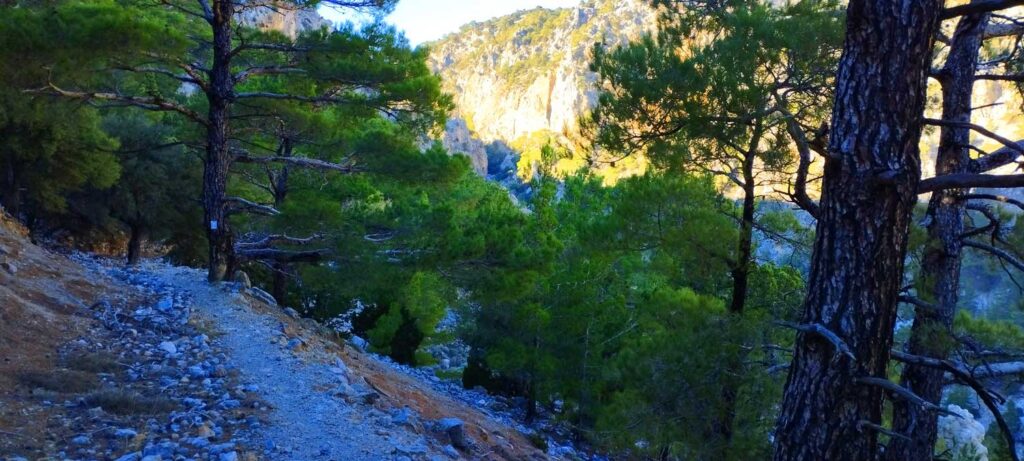
During the hiking routes you will encounter a great diversity of terrain, that alternates between steep slopes, small or bigger plateaus, ravines, extensive gorges (that of Selakano itself is well worth a visit), springs, streams and forest glades. The E4 European long-distance path passes through the forest of Selakano too.
From the east, a route starting in the village of Prina, only 19 km from Agios Nikolaos, will take you through the villages of Malles and Roussoxila, a small settlement with few houses just 2 km east of Selakano. This is a long route (18 km) but can be completed faster on bikes.
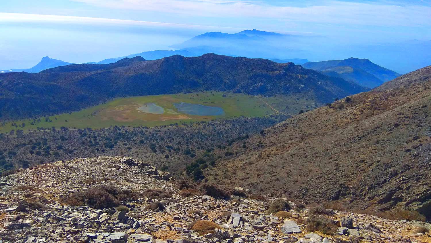
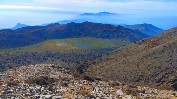
Other E4 routes that cross through the forest can also be completed from the plateau of Katharo. The mountain region between Katharo Plateau and Selakano is a wild and untamed part of Crete island with no permanent residents during the wintertime because of the high altitude (1150m). The land of Katharo plateau is community-owned, and cultivation is only allowed to residents that must pay back a percentage of their earnings to Kritsa, a nearby village.
Fortunately the forest has not faced extensive fires in the recent years and a small part of it has been afforested. Unfortunately, in many places that are not fenced, shepherds continue leaving their grazing goats, which eat everything and do not allow new trees to sprout.
Katharo Plateau-Selakano
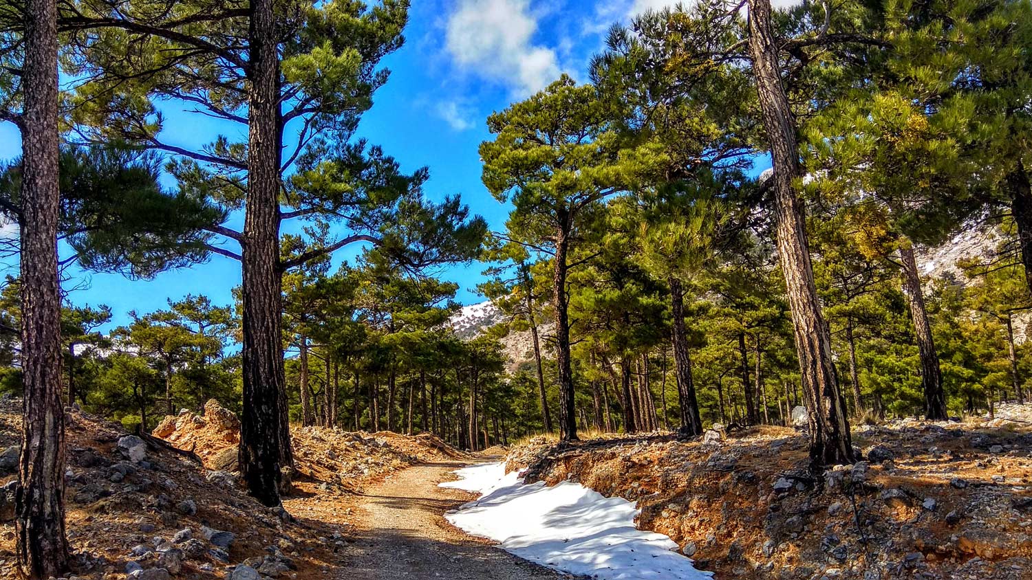
From the small settlement of Katharo located on the northern edges of the plateau and at an altitude of 1160m, where we can drink our coffee if needed in the summer months, we follow the dirt road to Selakano, in a south-southeast direction and we proceed between farmhouses and lightly cultivated fields. We observe the…
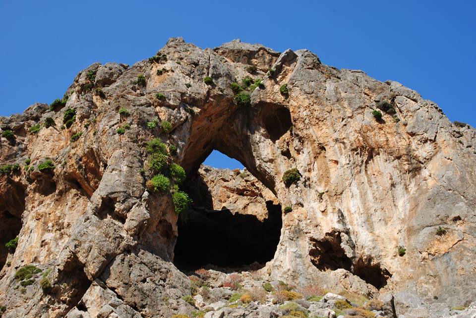
Zonari – Neraidogoula Cave
It is another unknown but beautiful route in the forest of Selakano. This time we will cross a large section in the southern part of the forested valley of Selakano. The access to the starting point of the hike is via a dirt road from Metaxochori and a vehicle that can cope with a dirt…
Bufanis Gorge, Selakano Valley
The hike starts from the picturesque settlement of Metaxochori at 550m altitude. The approach to this settlement is from Ierapetra - Myrtos - Males - Metaxochori and is 28km or about 45 minutes driving. The Malles-Metaxochori section is particularly impressive since the road hangs over the eastern exit of the Bufani gorge. In Metaxochori we…
Selakano-Lassithi e4 trail
We start just outside the Selakano settlement at 880m, and we walk first through the village and orchards and before we pass the last houses we enter the amazing and unique pine forest which will accompany us for the next 3 km, i.e. about an hour's hike up to about 1200m altitude. Then we pass…

Symi – Paradise Balcony
February 8, 2024
Walking on one of the most beautiful paths of eastern Crete, through black pine forests.…
Omalos Plateau, Viannos
February 7, 2024
Eastern Crete has dozens of enchanting and unknown destinations that "capture" every visitor, making him…
Skotini Gorge, Finokalia
January 30, 2024
A relatively small but impressive gorge with many changes in its landscape is the unknown…
Havgas Gorge, Elounda
January 28, 2024
We start from Elounda village by car and head west towards the village of Pines.…
Sitia Geopark
The Natural Park of Sitia is on the easternmost edge of Crete, in the Municipality of Sitia. It covers the…
Related Articles
The contents existing at this travel web site are in fact amazing for holidays in East Crete, people experience, well, keep up the good work fellows.