Expanding on the initial overview, the archaeological site of Knossos is a complex palatial city…
Mitato
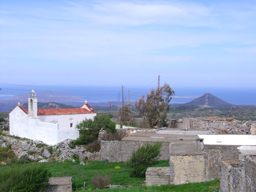
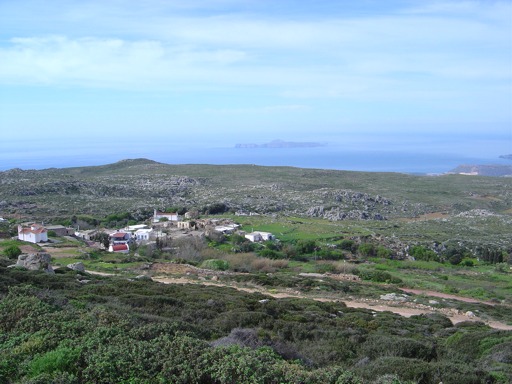
Mitato (the word means «cheese dairy» in the Cretan dialect) is the central village of a community of five small villages, the other four being Honos, Xerolimni, Krioneri or Misiryou (perhaps derived from the Latin missir: gentleman or lord, or Misr: Egypt) and Vrisidi or Magassa . The road to these villages passes through Roussa Ekklisia. Prehistoric tombs were found at Langos in the Mitato district, and on the summit of the hill Modi (539m) which also belongs to the community.
An open-air peak sanctuary was excavated in 1971. This had not been plundered and many votive offerings were found, including a lot of bronze votive knives. Traces of a building were also located. Nowadays, because of the high mountain climate (600m above see level), fewer and fewer people live permanently in these villages; most of the former inhabitants spend the greater part of the year in Palekastro or Sitia
Other villages on Mitato Plateau
Vrisidi (or Magassa)
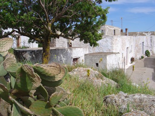
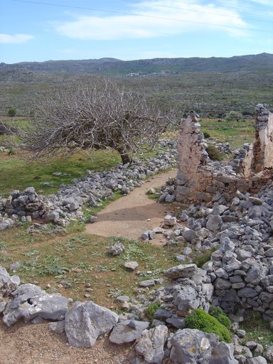
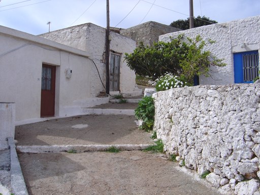
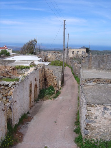
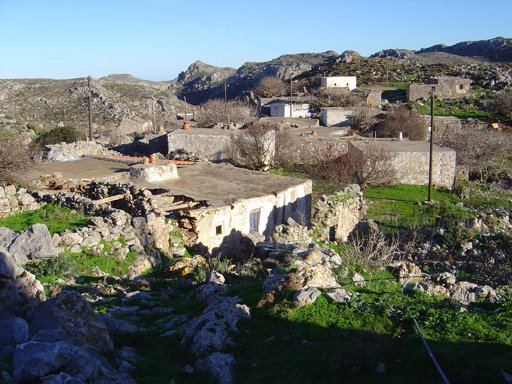
Abandoned hamlet on the plateau of Mitato 15 km from Sitia and 1500 m from Mitato. A few old traditional houses are preserved with stone walls. To the west of the village there is a cave with many traces of a Neolithic settlement such as stone ax, 260 obsidian pillars, which was excavated by Dawkins in 1905. In the west of the cave there was a large and rare neolithic house of the type But and Ben with a small and a large room (living room and bedroom – living room). In this house were found many stone axes and millstones.
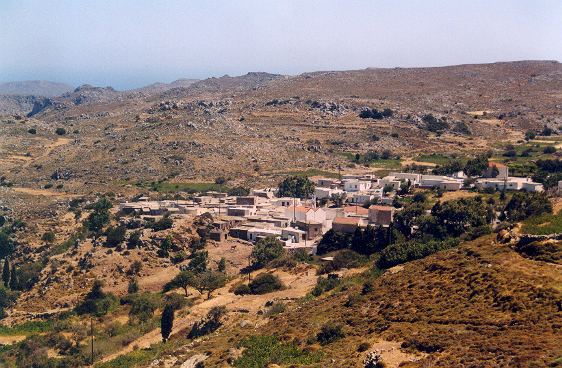
Karidi
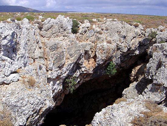
Mountain village at 25 km from Sitia and 4 km from Mitato. It is located in the center of an extensive rocky plateau of particular beauty. In the last years of the Ottoman domination, it was the seat of the Municipality. Nowadays he has few inhabitants, who in the winter reside in Langada. It retains its traditional color and many old stone houses are preserved. Near the settlement there are 2 of the most important caves of Crete with traces of human habitation. The area is a true paradise for speleologists.
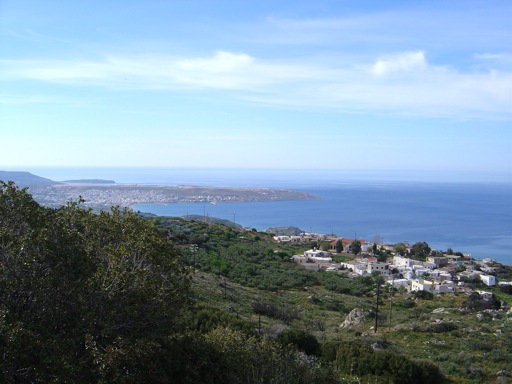
Krioneri (Missirgiou)
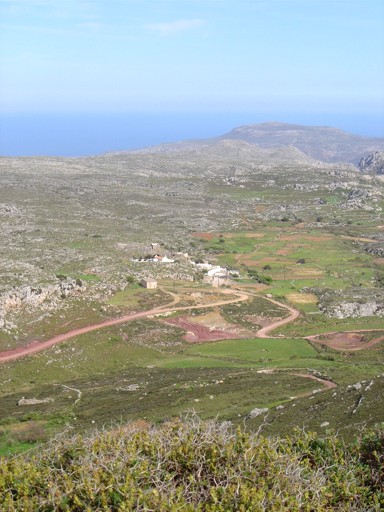
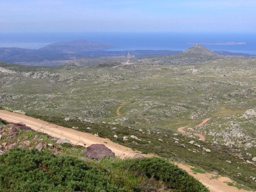
A small settlement 1km north-west of Mitato with few inhabitants, mainly in the summer months. The village altitude is 660m with great views to the whole rocky Plateau of Mitato-Karidi.
Xerolimni
The name means “dry lake”. Settlement of the former community of Mitato at an altitude of 550 m. It is located a short distance to the northeast of the Mitato. The first time we have a reference to this settlement is to the Egyptian census of 1834 with 10 Christian families. Xerolimni (Pashley, Travels in Crete, II, p.322). In 1881 Xerolimni is mentioned to the municipality of Karidi with 88 Christian inhabitants, 1900 with 77, 1920 with 113, 1928 with 98, 1940 with 70, 1951 with 71, 1961 with 49, 1971 with 19 and 1981 with 7 inhabitants.
Honos
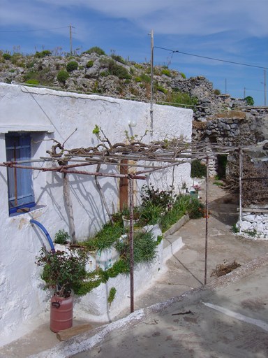
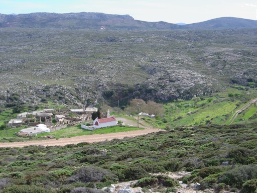
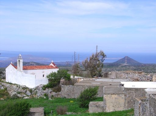
Settlement of the at an altitude of 670 m. It is located 1km to the west of the village Mitato. His name was taken from a rainfall sink in the area. The settlement existed during Venetian domination and Ottoman domination, since we have a reference by a Turkish document of 1689. However, it does not refer to the Venetian censuses nor to the Turkish census of 1671. In the Egyptian census is mentioned Khonos (Pashley, Travels in Crete II, 323) with 3 Christian and 6 Turkish families. In the census of 1881, we have 26 inhabitants, in 1920 inhabitants 42, 1920 inhabitants 47, 1928 inhabitants 63, 1940 inhabitants 75, 1951 residents 65, 1961 51 and 1971, 13. Today nobody lives there. In the village you can see the old fountain with cold water, where the excursionists enjoy the tranquility of nature and the fresh mountain air, the church of St. John the Theologian.
Sitia Natural Geopark
Karidi Info Center
Sitia Natural Geopark
The Info Center at Karidi (4km far from Mitato village) is hosted at the old school of the village and is dedicated to the speleological research. The center offers information on the Nature Park, the nearby geo-routes and the activities that can be implemented, but also can be used for accommodation of small groups and scientists.
Center is equipped with the necessary infrastructure and facilities for stay and sleep that can be used by speleologists, biologists, schools etc., that are interested to study the environment and caves of this mountainous area. It also can provide visitors with the necessary equipment for personal security and orientation.
Visitors who wish to use this infrastructure should communicate with Parks authorities or the Municipality of Sitia.
Additional Info
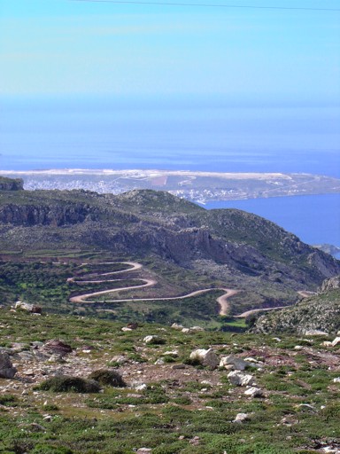
Location: Sitia Region – 15 km from Sitia – 23 km from Palekastro
Access: Dirt road (2km) from Krioneri village
Residents: 0
Αltitude: 590m
Peristeras Cave
The elevation at the entrance is 540 metres, whereas the elevation at the rim of the doline attains 564 metres.…
Pano Peristeras Cave
It is one of the biggest caves in Crete. There is an underground river with a mapped length of routes…
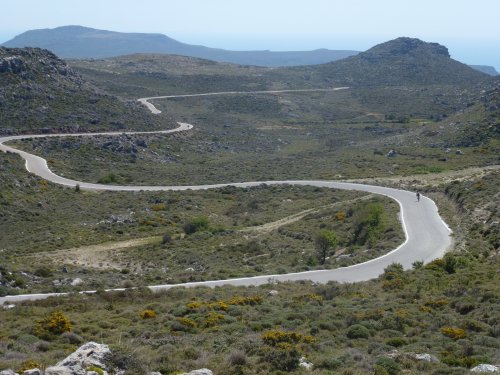
Cycling in East Crete
If you are a mountain bike lover or healthy living is part of your life, then here’s your place to…
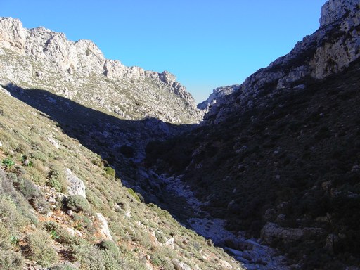
Adravasti Gorge
It is the most unknown gorge of Palekastro - Zakros region. Its exit is just 1 km north from Adravasti village…
Related Articles
This Post Has 0 Comments