

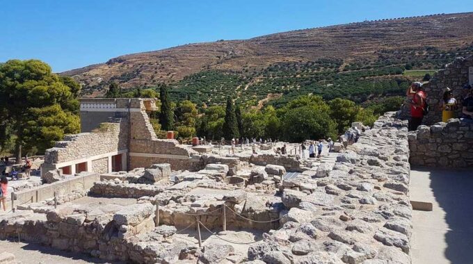
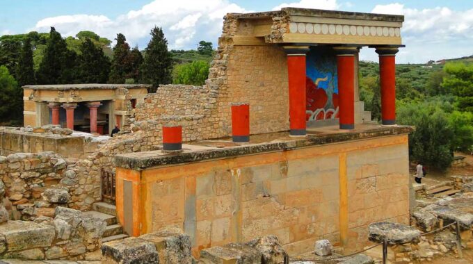
Expanding on the initial overview, the archaeological site of Knossos is a complex palatial city…
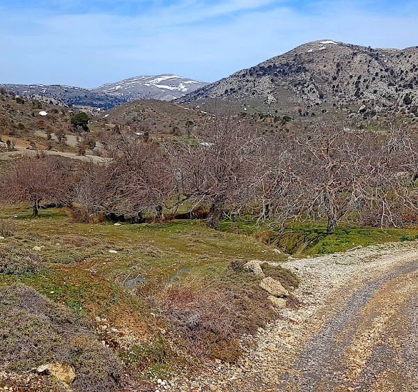
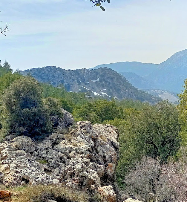
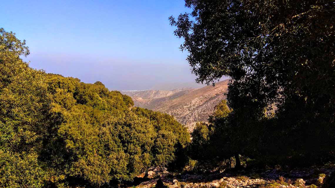
Katharo Plateau East
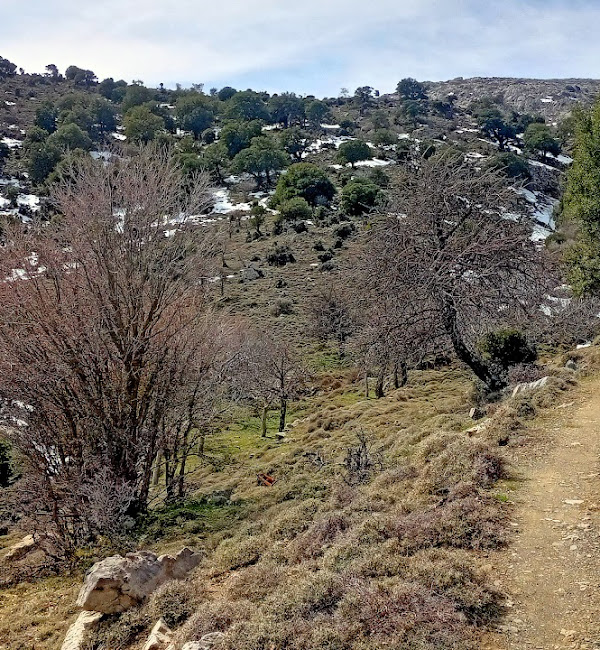
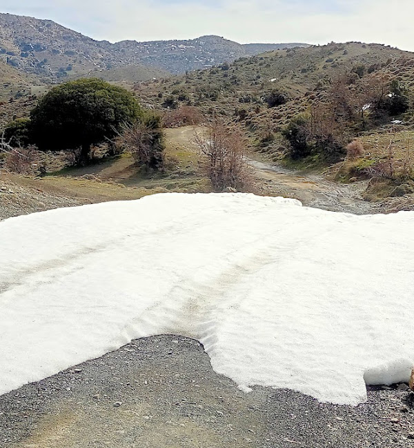
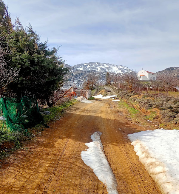
An easy but spectacular route on the eastern side of the plateau. Almost the entire course is on dirt roads and only at one point (from point B to point C as we see on the map and for about 15 minutes) will you need to leave the road since it stops a little further anyway, and in a south-east direction we walk without a path until we meet the road that joins the plateau with Malles.
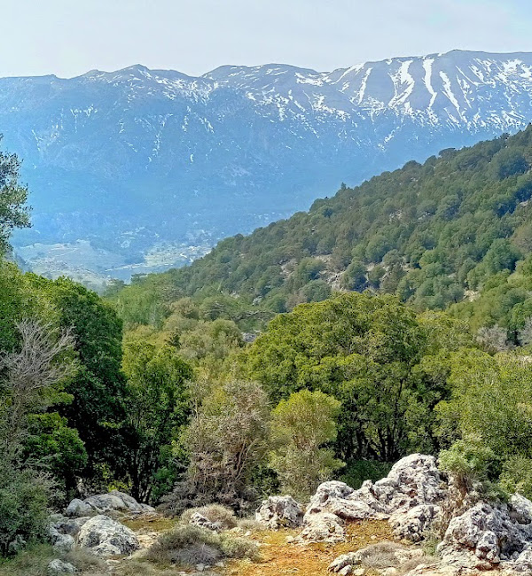
The best time to visit the plateau is from February to the end of June where spring offers us amazing images.
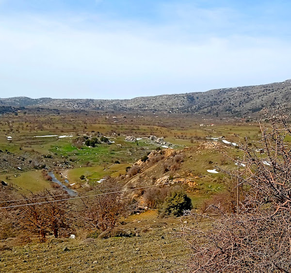
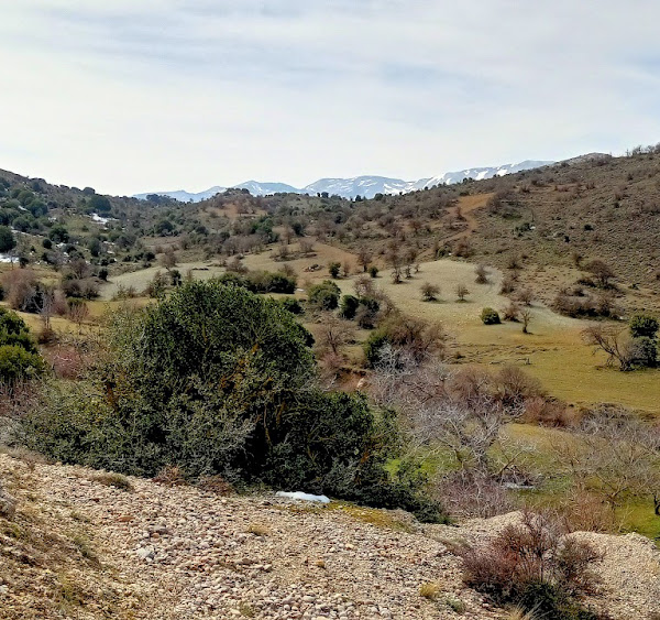
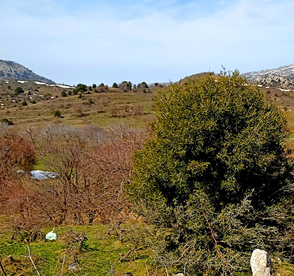
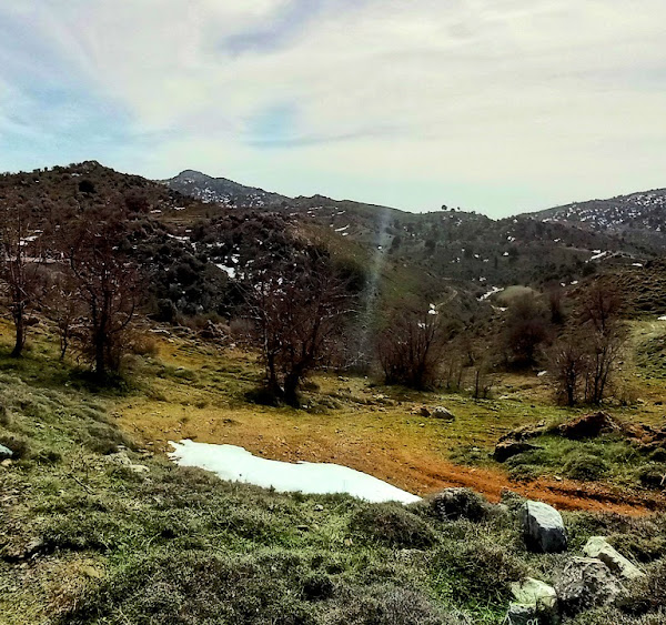
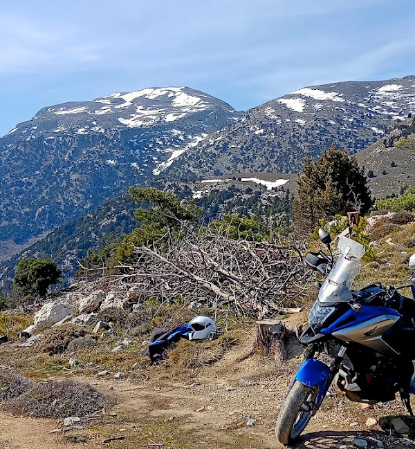
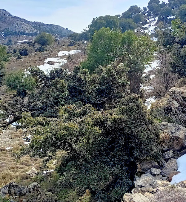
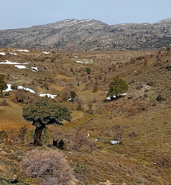
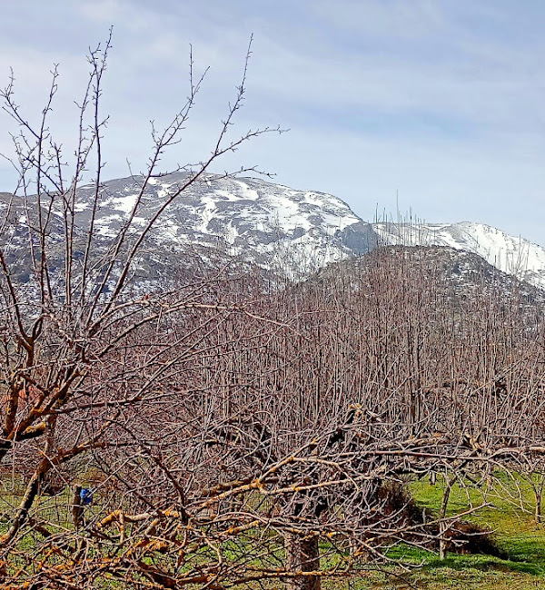
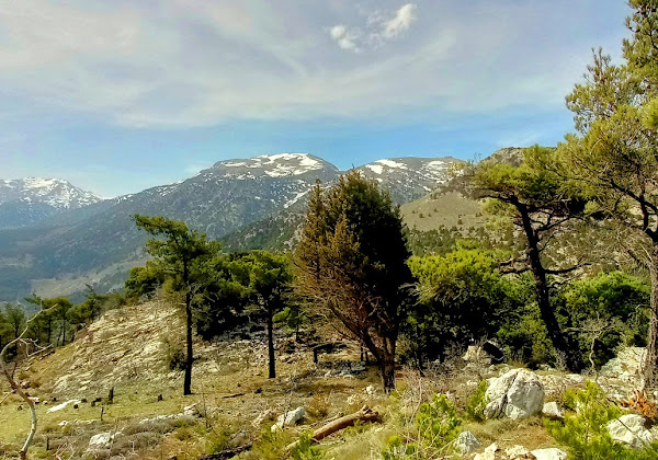
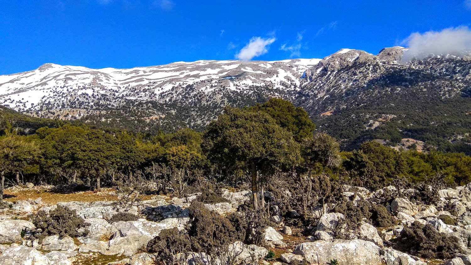
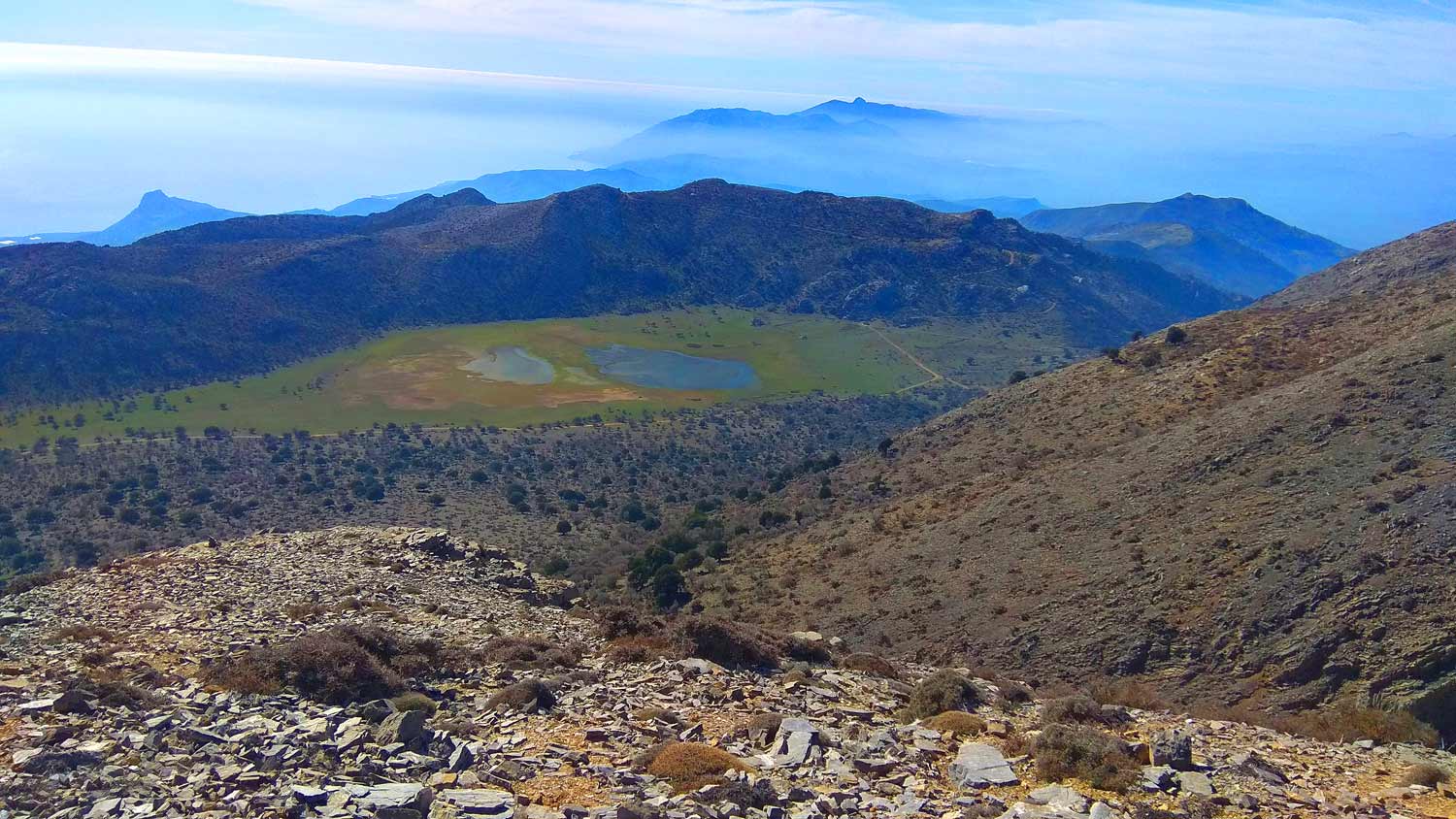
The almost flat route does not have large fluctuations in altitude since the highest point is at 1210m and with typical comfort we can enjoy the green landscape with the snowy ravines of the Lasithi mountains as a background.
We start from the settlement of Katharo and after a 3,5-hour round trip we end up there again.
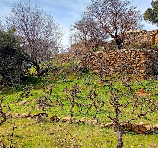
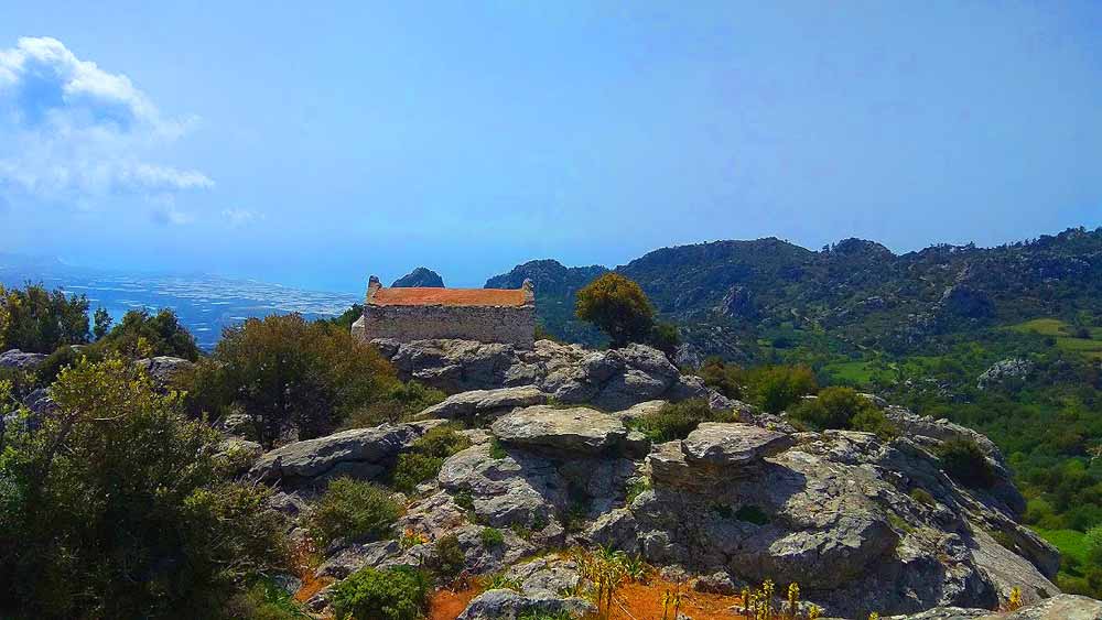
Katharo plateau
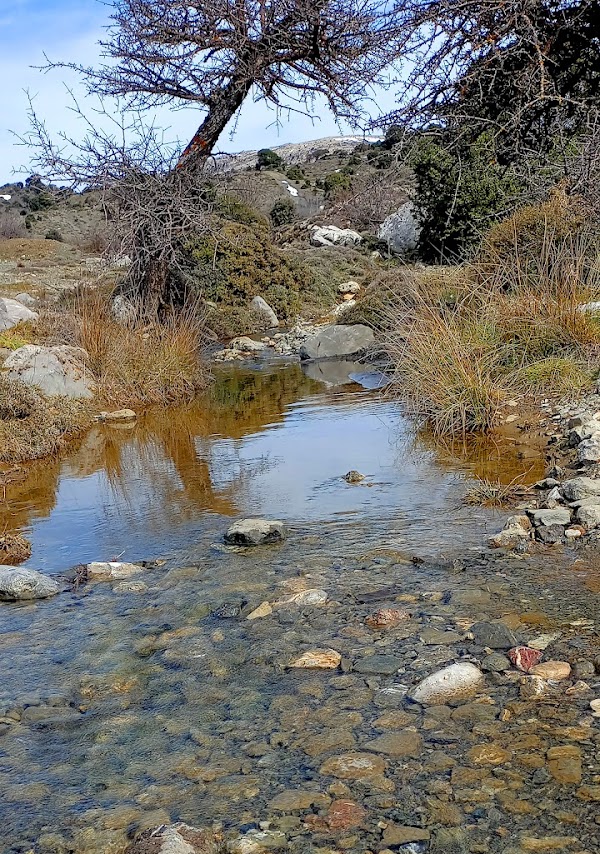
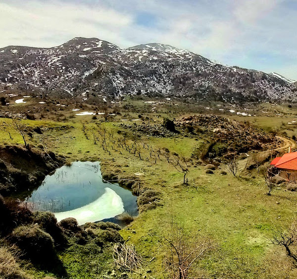
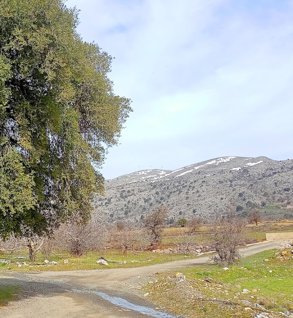
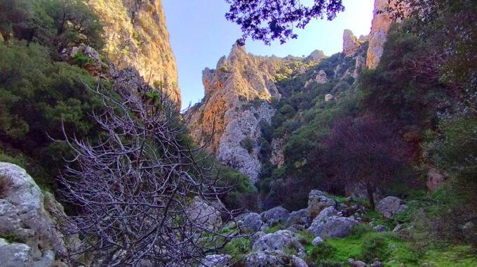
The Katharo plateau is located in the Diktis mountain range, at an altitude of 1150 meters, 16 km west of Kritsa. It is a beautiful plateau, with a distinct microclimate, special flora and fauna, one of the most impressive in Crete. With the highest peaks of the Lassithio mountains, (Lazaros 2,085 m and Spathi 2,148 m), dominating imposing and proud, it impresses with images of rare beauty. Many visitors climb all seasons of the year, either to enjoy the snow-covered slopes of Diktis, or the coolness in the summer months (the temperature is always several degrees lower than in the plains), or homemade delicacies in the traditional family taverns.
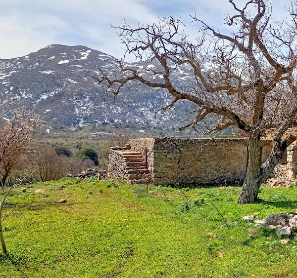
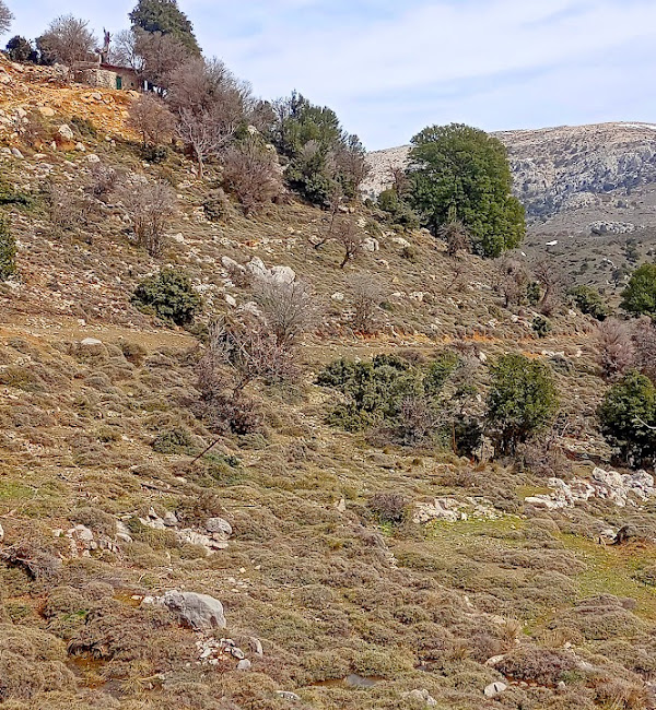
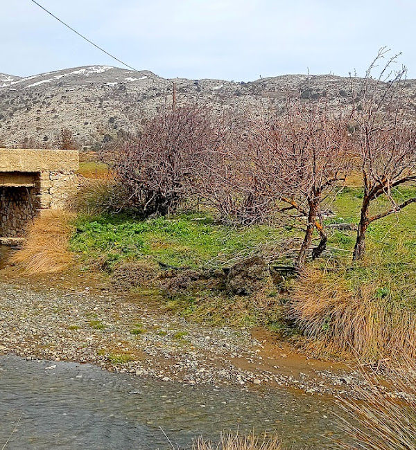
It is inhabited by few permanent residents, although there are several farmhouses and buildings, as well as agricultural crops (grapes, apples and potatoes are famous for their deliciousness). The land ownership regime on the plateau is special and is reflected in Ottoman documents and disputes dating back to the Turkish/Venetian period. It is considered a community estate that belongs to the community apartment of Kritsa and only the people of Kritsa village have the right of residence or cultivation (but not ownership).
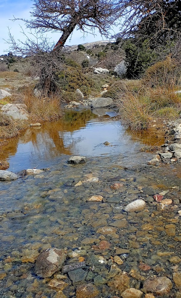
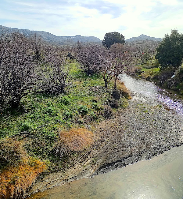
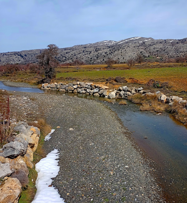
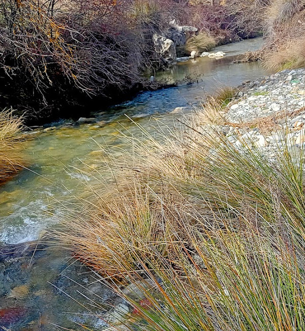
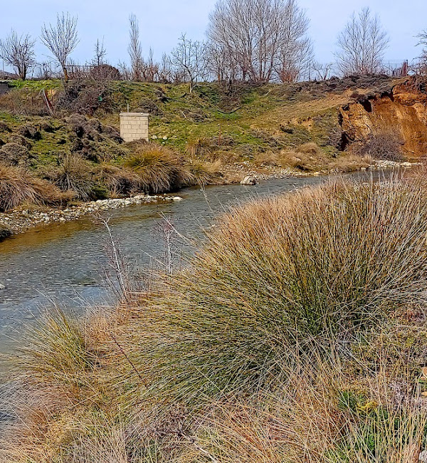
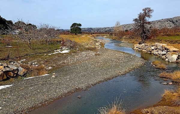
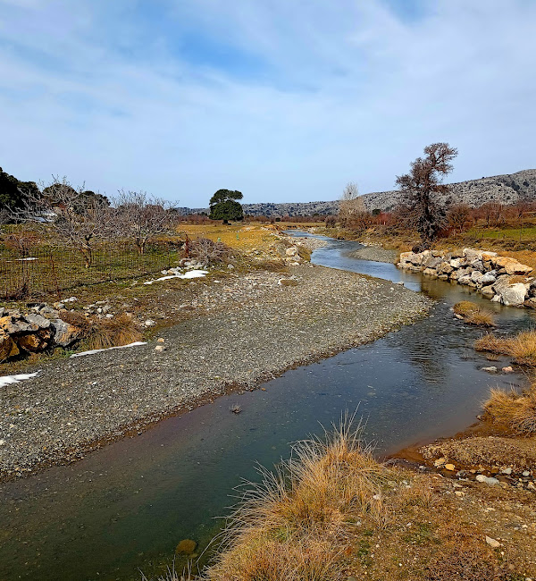
The waters of the plateau are transported through the Hauga gorge to the Lasithi plateau in the ‘Honos’ sinkhole and end up at the Aposelemis dam. The main hiking trails that reach Katharos are the European trail E4 from the Lasithi Plateau, the E4 to Selakano and the old canlderimi (ancient stone built trail) from Kritsa, dating back to Minoan times.
How to access Katharo..
Katharo Plateau can be accessed from Kritsa, by a nice tarmac and beautiful road that leads to the plateau. If you have an higher car more suitable for dirt roads it is worth following the road that connects Lassithi Plateau to Katharo from the west. Also, there are two more options with partially rough dirt roads connecting the plateau with Malles village from the south (Ierapetra area) and the most beautiful and immersive route is Kroustas village – Kroustas forest – Katharo Plateau, from the southeast.
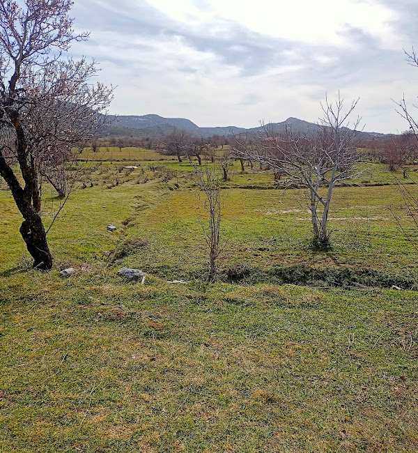
Katharo is a scenic place of Crete, different from the usual places on the island. In summer you can walk between stone walls, apple trees and oak trees, but also explore the surrounding mountains.
Additional Info
Altitude: Lowest point : 1105 (Selakano view point) – Highest point: 1210 m (Katharo Plateau)
Starting Point: Katharo Village by Katharo Plateau
Path Type: All distance on dirt road – Without path/road from point B to point C on the map
Difficulty: Easy
Walk distance: 12,5 km : 3,5 hours
Sitia Geopark
The Natural Park of Sitia is on the easternmost edge of Crete, in the Municipality of Sitia. It covers the…
An easy but spectacular route on the eastern side of the plateau. Almost the entire…
The usual route to Atzilakodasos starts from the location of Hamoprina, about 4.5 km south…
Walking on one of the most beautiful paths of eastern Crete, through black pine forests.…
The Gorge of Milonas is located east of Ierapetra, north of the village of Ferma.…

The island of Kolokytha or Vryonisi is located in the Gulf of Mirabello opposite the…
About 1,5 km to east of the village of Zakros, starts the Gorge, which ends at…
The route "Kalamafka - Meteora Crete - Holy Cross - Kalamafka" is an easy hiking…
Eastern Crete has dozens of enchanting and unknown destinations that "capture" every visitor, making him…
Related Articles
This Post Has 0 Comments