

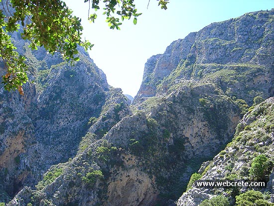
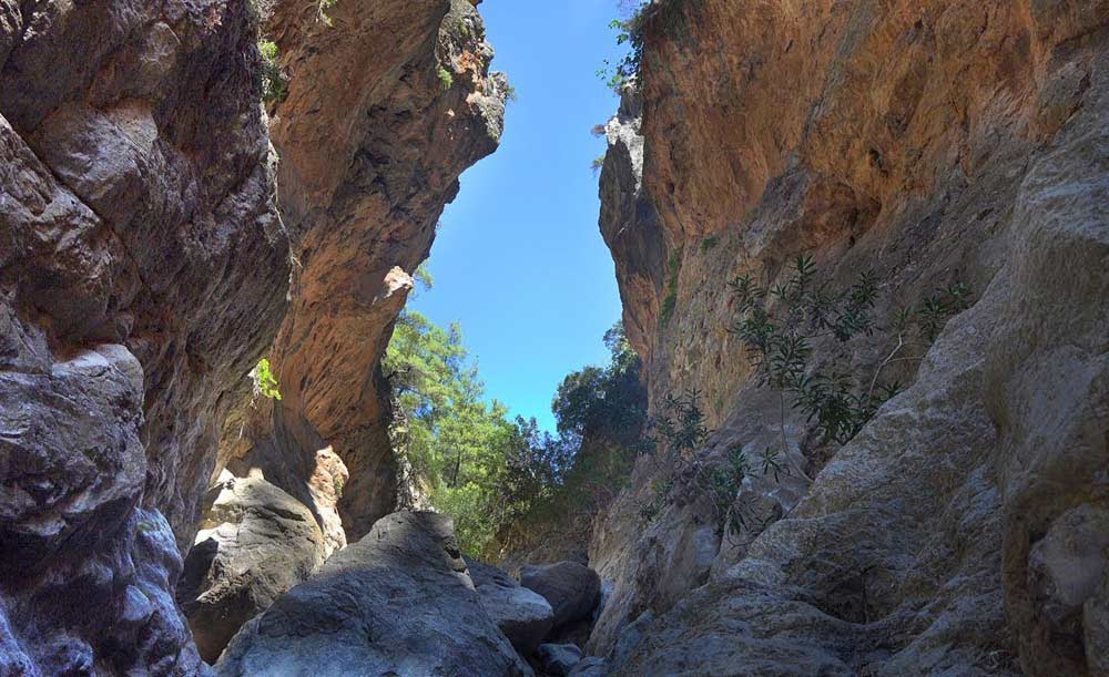
Adrianos Gorge in Lasithi: Crete’s Well-Kept Secret The Adrianos Gorge in Lasithi is one of…
Katharo Plateau-Selakano
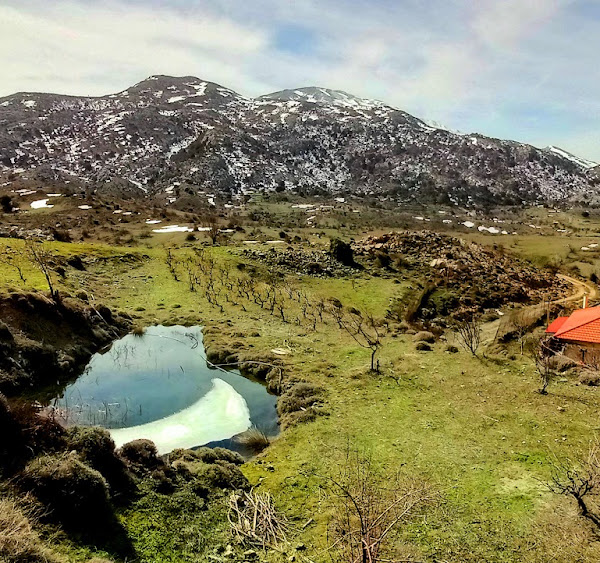
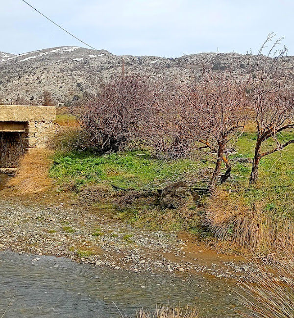
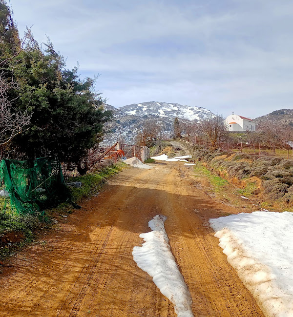
From the small settlement of Katharo located on the northern edges of the plateau and at an altitude of 1160m, where we can drink our coffee if needed in the summer months, we follow the dirt road to Selakano, in a south-southeast direction and we proceed between farmhouses and lightly cultivated fields. We observe the many artificial ponds – reservoirs used by the inhabitants of Katharo to collect water and irrigate the crops.
For almost 7 km we don’t change our basic direction and we always have the greater part of the plateau on our right.
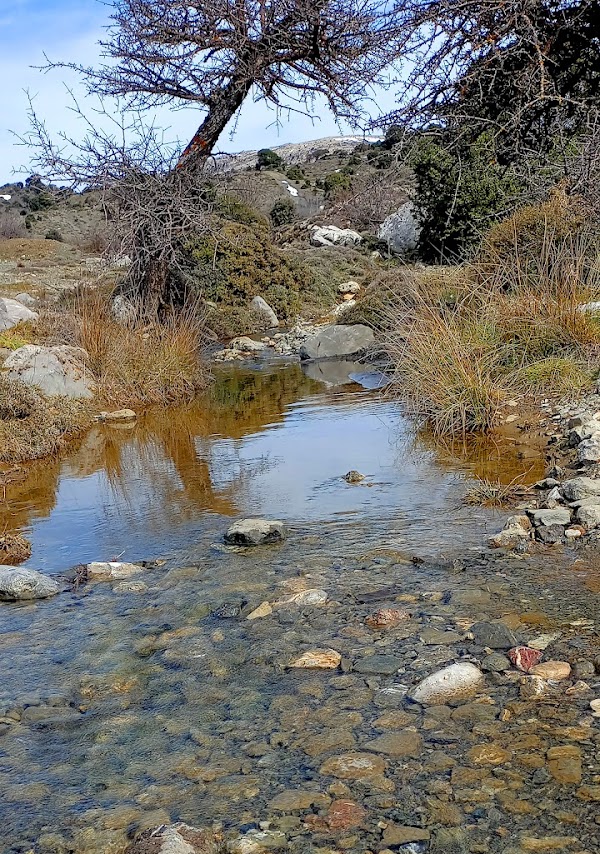
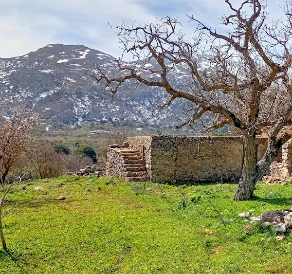
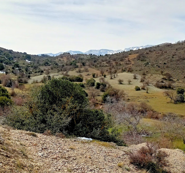
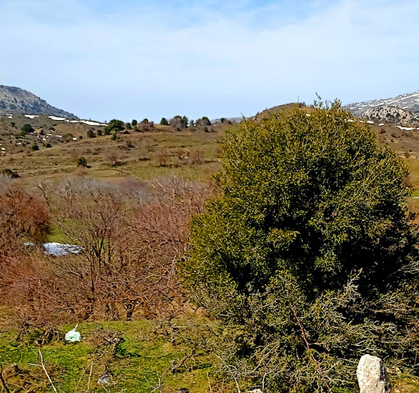
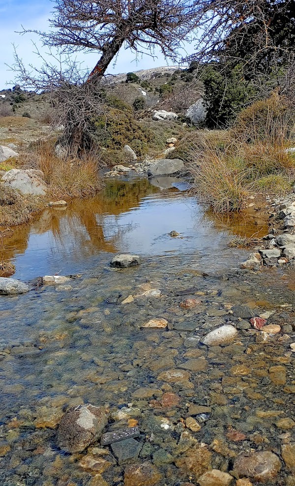
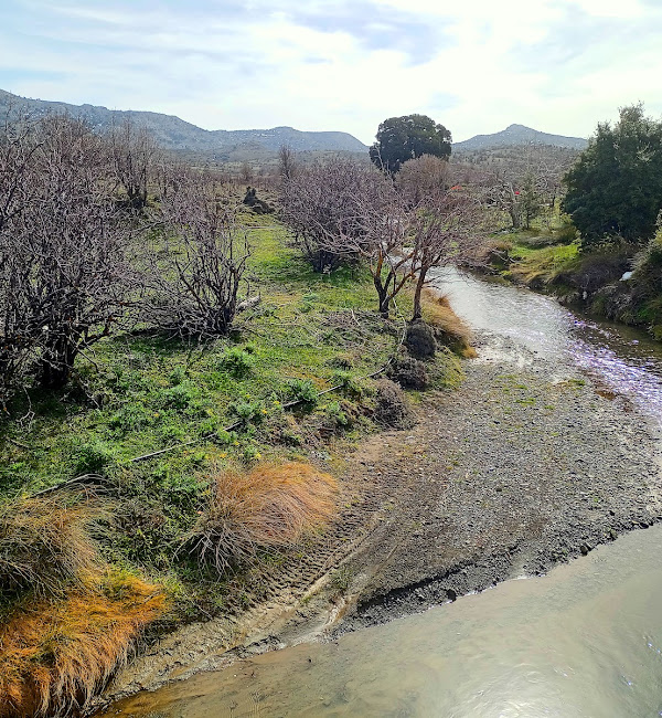
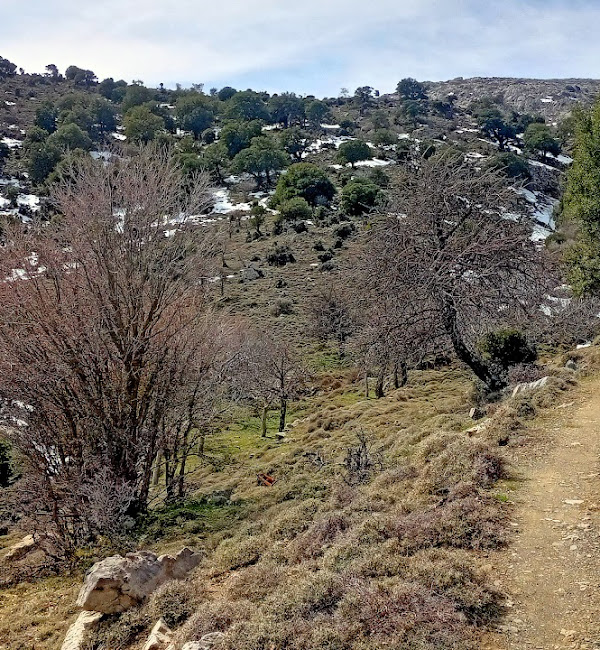
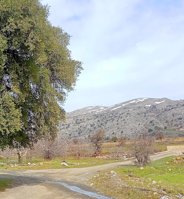
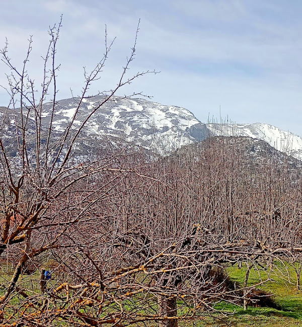
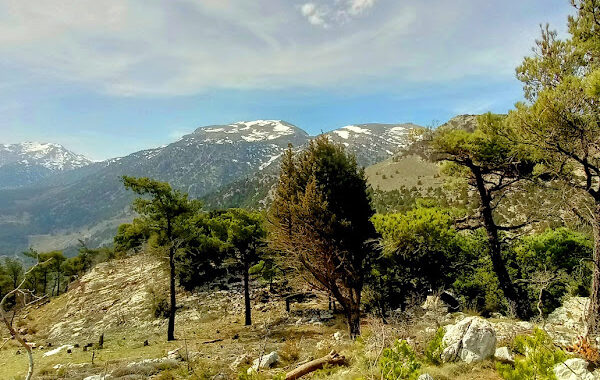
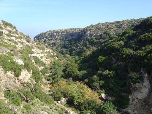
As we cross the plateau it reveals itself still green, after the rains of the last weeks, protected by surrounding mountains. Summer is not here yet and time seems to have stood still in spring as the fields are adorned with crimson poppies, exotic orchids and colorful wildflowers.
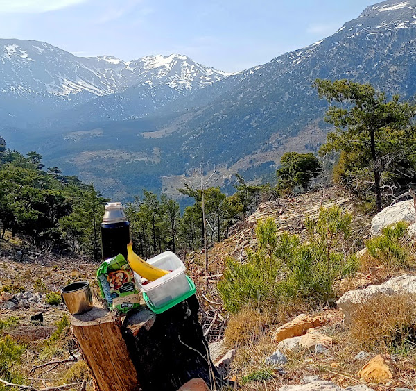
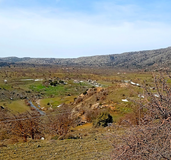
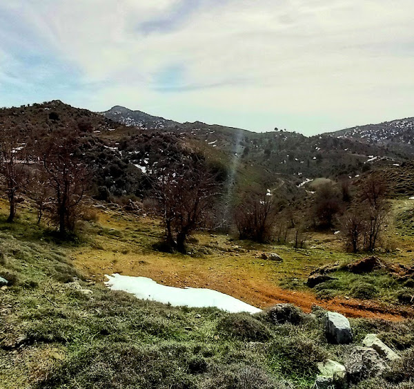
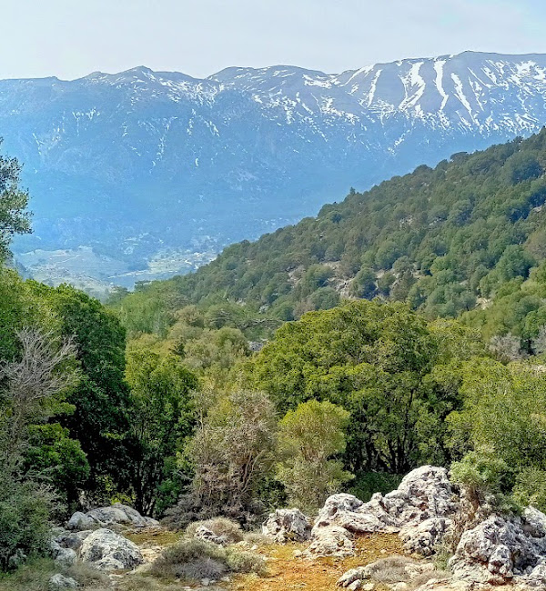
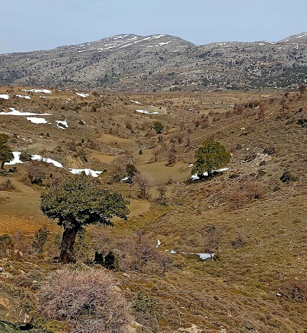
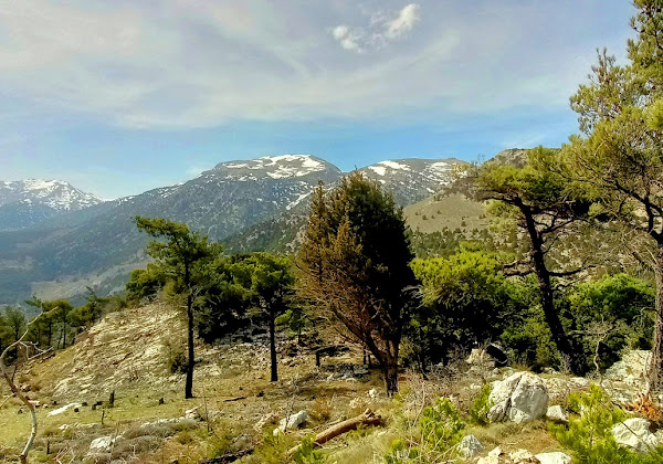
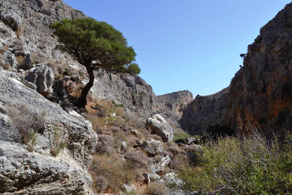
The mountainous landscape that we cross is also imposing, with tree-lined privies sprouting haughtily and stubbornly between pale gray rocks, sculpted by the strong north winds. We covered the approximately 7km of the route on the eastern edges of the plateau and reached its ‘exit’ to the south, from where we now start to have an increasingly panoramic view to the south and a little further down to the valley of Selakano.
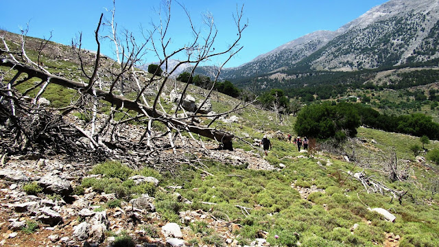
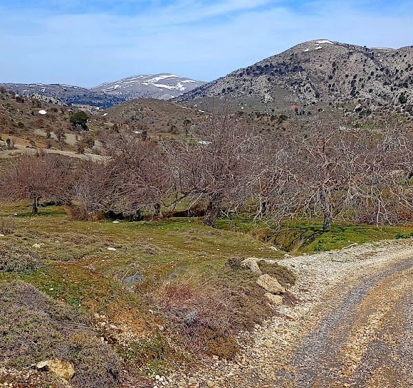
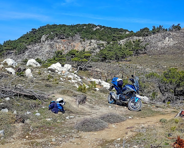
The vegetation changes radically and we enter the pine-covered area of Malles, where several years ago a fire burned a large part of this area.
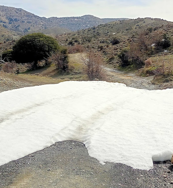
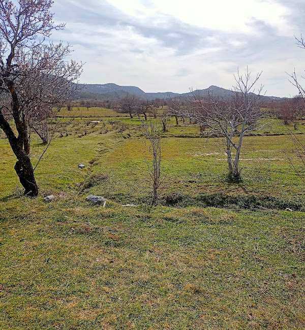
We have already been descending for some time and at 7.4 km we see on our right a half-abandoned dirt road which stops 100m below but we continue in this direction until we see the path that will take us to Mathokotsana. We have left the forest behind and are walking in an open area, and the image of the path changes from indistinct to distinct. Towards the end, a little further down, it becomes difficult to detect again.
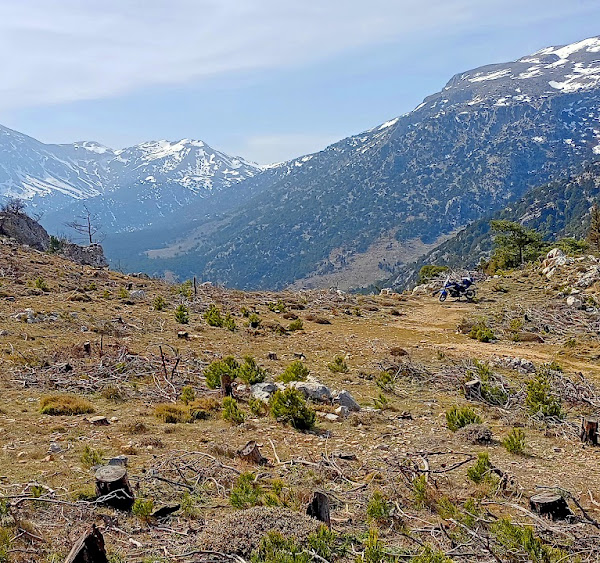
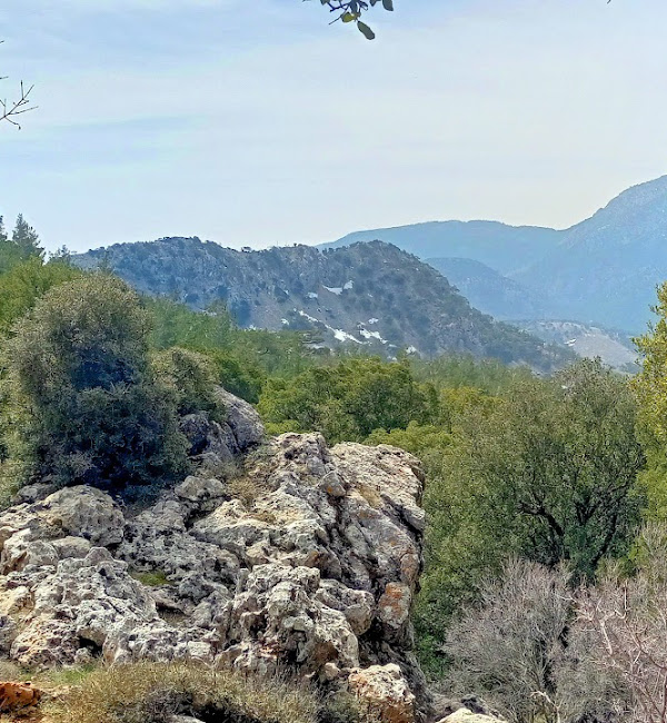
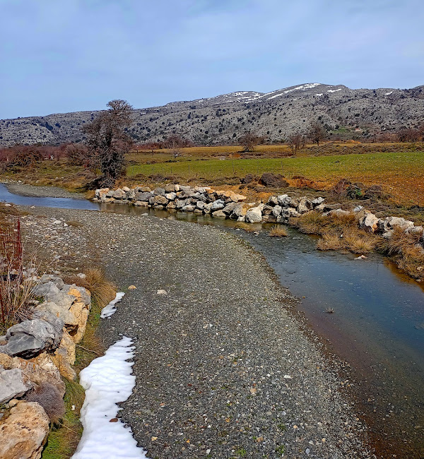
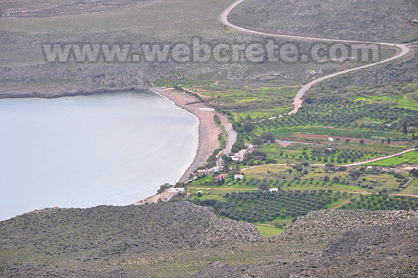
However, this does not make it difficult for us since we have before us the entire valley of Selakano as well as the settlement of the same name. A little further down and to our left is the abandoned settlement of Mathokotsana with its few buildings.
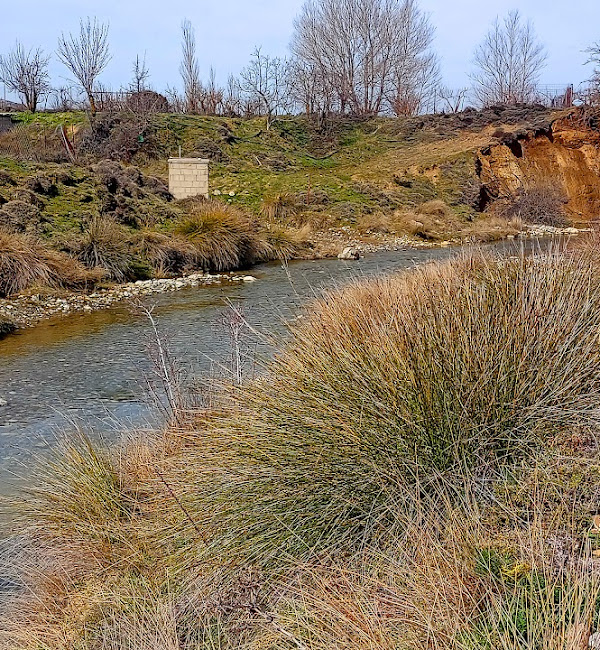
From there, the dirt road that directs us west towards Selakano awaits us, or we have the option to move east again on a dirt road, and through cultivated lands to reach Malles village with the ravine of Selakano on our right.
Katharo plateau
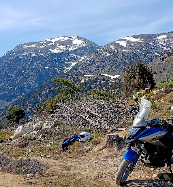
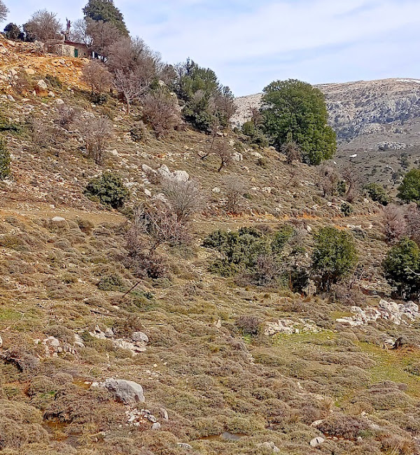
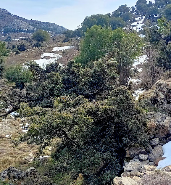
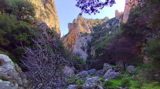
The Katharo plateau is located in the Diktis mountain range, at an altitude of 1150 meters, 16 km west of Kritsa. It is a beautiful plateau, with a distinct microclimate, special flora and fauna, one of the most impressive in Crete. With the highest peaks of the Lassithio mountains, (Lazaros 2,085 m and Spathi 2,148 m), dominating imposing and proud, it impresses with images of rare beauty. Many visitors climb all seasons of the year, either to enjoy the snow-covered slopes of Diktis, or the coolness in the summer months (the temperature is always several degrees lower than in the plains), or homemade delicacies in the traditional family taverns.
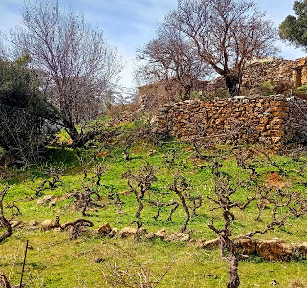
It is inhabited by few permanent residents, although there are several farmhouses and buildings, as well as agricultural crops (grapes, apples and potatoes are famous for their deliciousness). The land ownership regime on the plateau is special and is reflected in Ottoman documents and disputes dating back to the Turkish/Venetian period. It is considered a community estate that belongs to the community apartment of Kritsa and only the people of Kritsa village have the right of residence or cultivation (but not ownership).
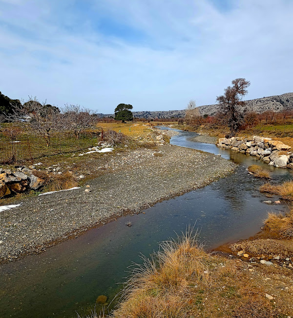
The waters of the plateau are transported through the Hauga gorge to the Lasithi plateau in the ‘Honos’ sinkhole and end up at the Aposelemis dam. The main hiking trails that reach Katharos are the European trail E4 from the Lasithi Plateau, the E4 to Selakano and the old canlderimi (ancient stone built trail) from Kritsa, dating back to Minoan times.
How to access Katharo..
Katharo Plateau can be accessed from Kritsa, by a nice tarmac and beautiful road that leads to the plateau. If you have an higher car more suitable for dirt roads it is worth following the road that connects Lassithi Plateau to Katharo from the west. Also, there are two more options with partially rough dirt roads connecting the plateau with Malles village from the south (Ierapetra area) and the most beautiful and immersive route is Kroustas village – Kroustas forest – Katharo Plateau, from the southeast.
Katharo is a scenic place of Crete, different from the usual places on the island. In summer you can walk between stone walls, apple trees and oak trees, but also explore the surrounding mountains.
Additional Info
Altitude: Lowest point : 890 (Selakano Village) or Malles (610m) – Highest point: 1210 m (Katharo Plateau)
Starting Point: Katharo Village by Katharo Plateau
Path Type: Most of the walk on dirt road – Mountain path before reaching Mathokotsana (Point B to Point C on the map)
Difficulty: Moderate
Walk distance: 13,4 km : 4,5 – 5 hours
Sitia Geopark
The Natural Park of Sitia is on the easternmost edge of Crete, in the Municipality of Sitia. It covers the…
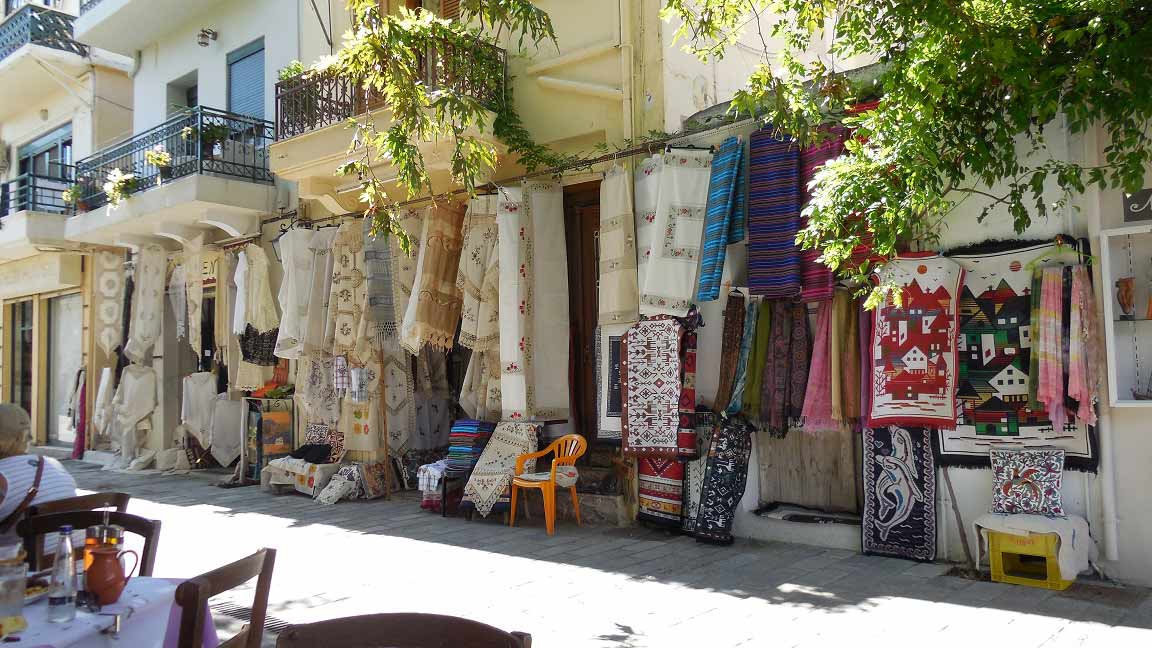
Kritsa is one of the oldest and most picturesque villages in Crete, Greece, built amphitheatrically…
From the small settlement of Katharo located on the northern edges of the plateau and…
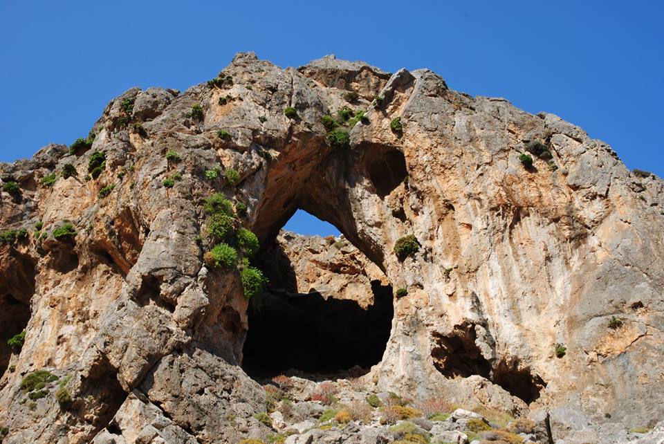
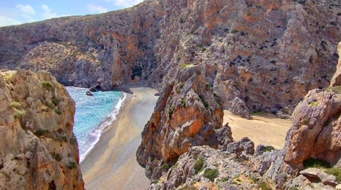
The Chochlakies or Karoumes Gorge lies in the far east of the island, 8 kms…
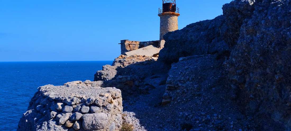
The lighthouse of Aforesmenos is located 27km north of Agios Nikolaos, 20km from Elounda, and…
The route begins near the entrance of the gorge of Kato Zakros. There is a…
This route which we recommend is one of the most exciting hikes in eastern Crete…
16km west of Ierapetra is located the traditional village of Mythi or Mithi. In a…
Though it is unknown, it is very beautiful and impressive. It is relatively easy to access.…
Related Articles
This Post Has 0 Comments