
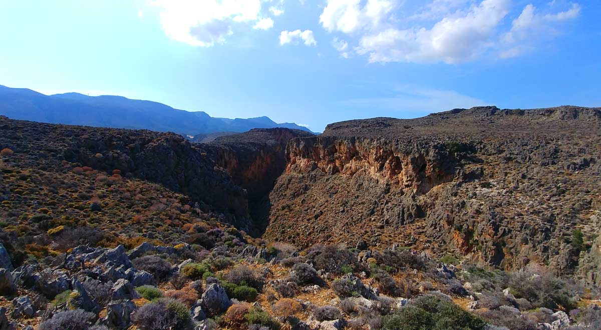
Adrianos Gorge in Lasithi: Crete’s Well-Kept Secret The Adrianos Gorge in Lasithi is one of…
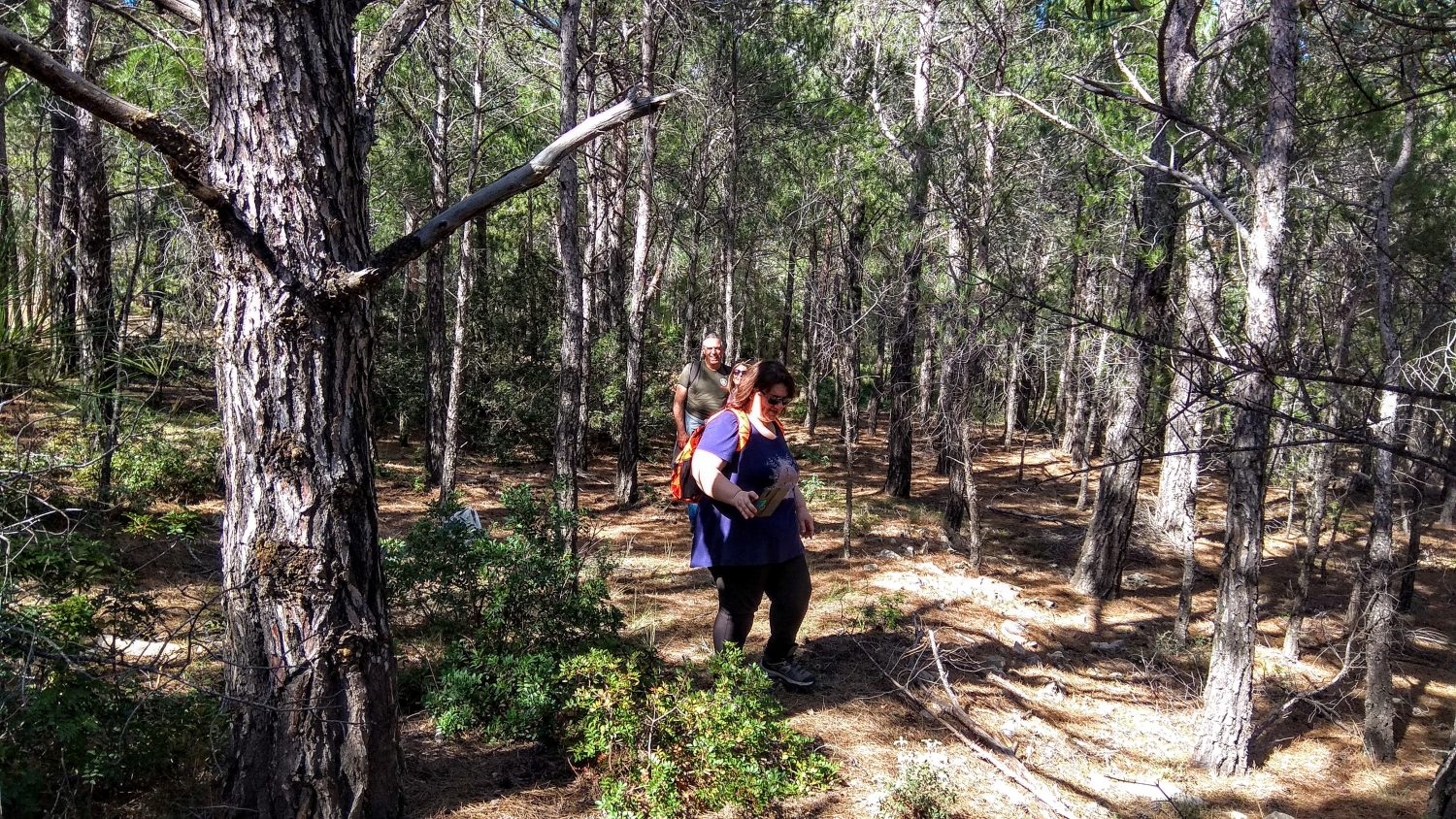
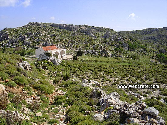
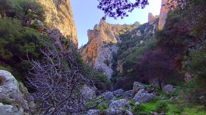
Psichro forest
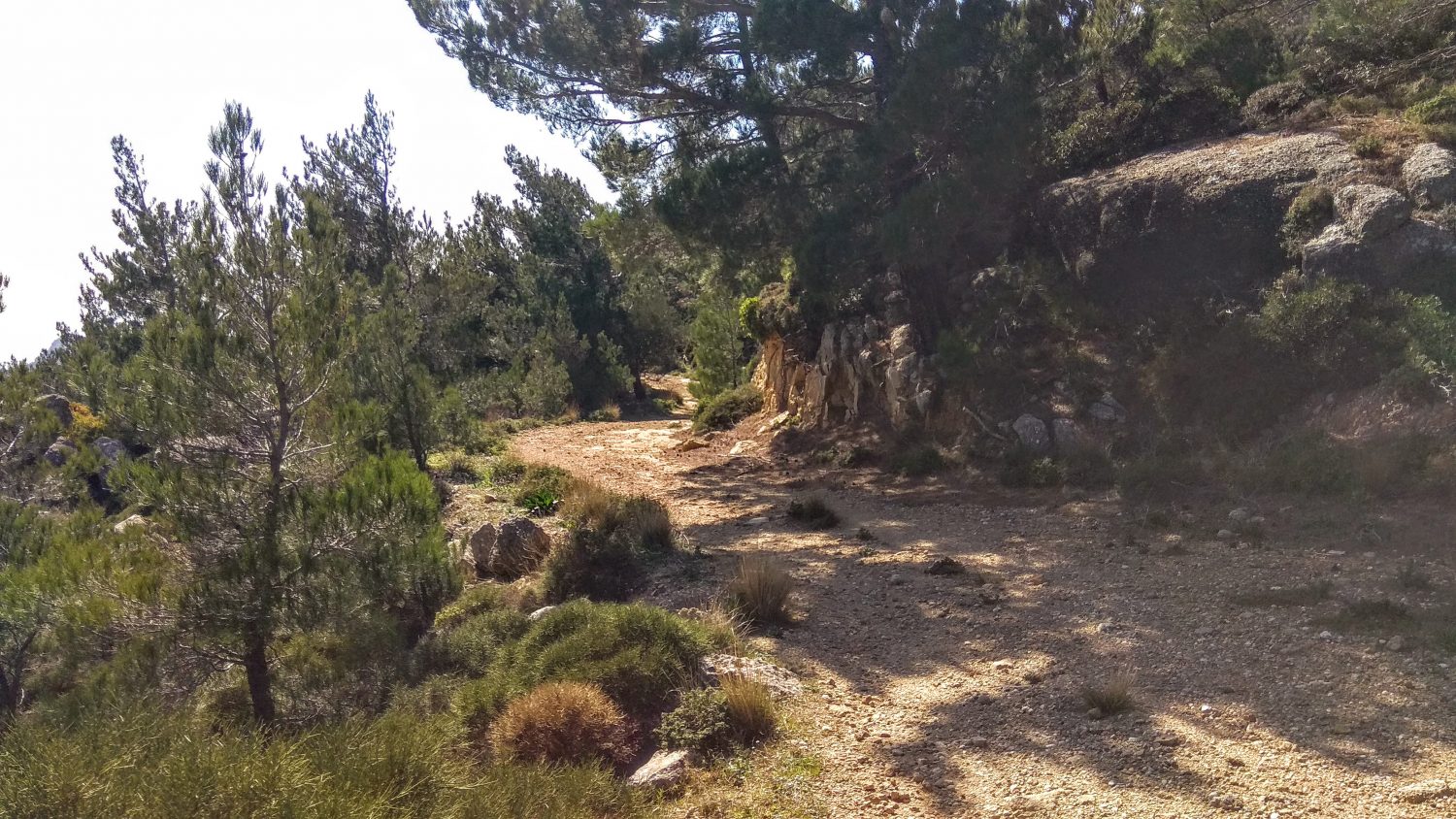
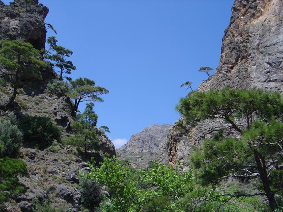
A beautiful route through the pine forest of Psichro, Agios Ioannis about 20 km east of Ierapetra. Almost all of the path we take is through forest roads with the forest being a bit sparse and most of it being dense. Our hike begins just before the church of Agios Georgios Psichrou, at an altitude of 460 meters. First we go north-northeast until we meet the dirt road on the west side of the ravine. Walking constantly on a dirt road we go on a circular path to reach the highest point of the route, at about 800m altitude.
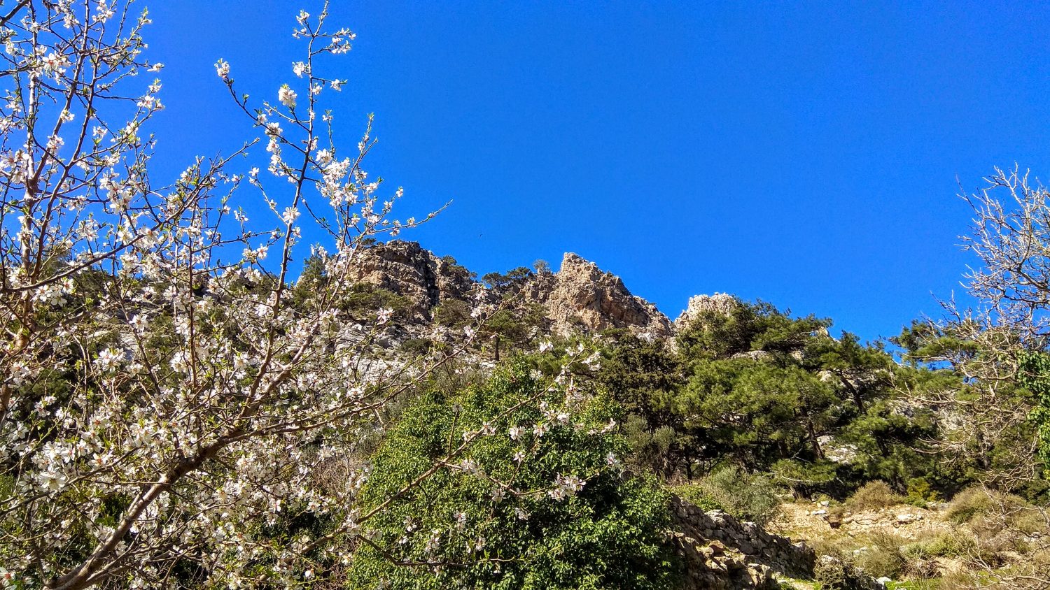
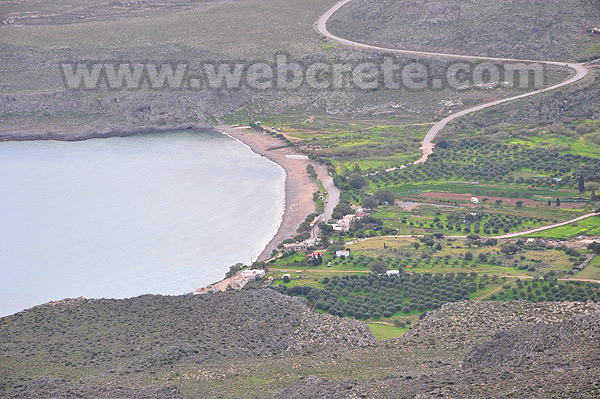
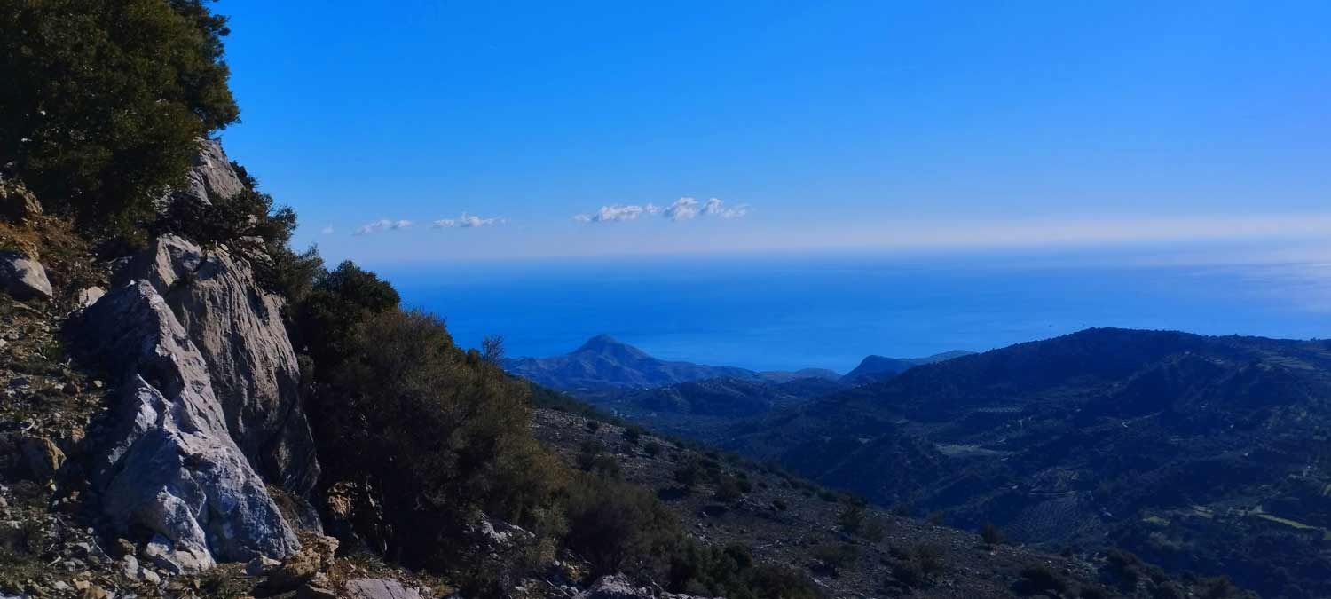
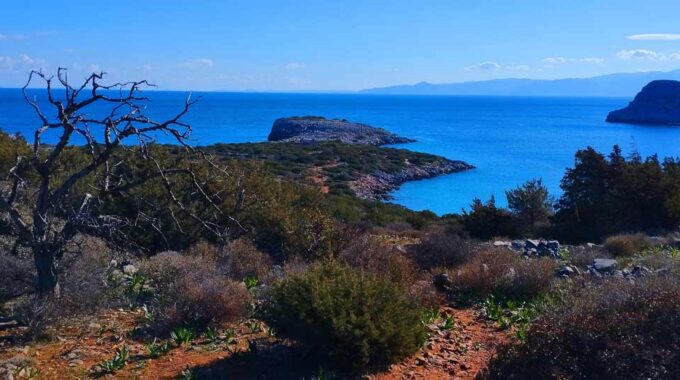
From this natural “balcony” we can see Schinocapsala area to the east and we can also see the bay in Goudoura in the distance , the imposing ridge of Thripti in the north. We overlook the endless Libyan Sea with Chrissi and Koufonissi islands to the south.
From this point we descend into the Pinus brutia pine forest, choosing the best dirt road to reach the asphalted road, 1000m southeast of the starting point, ie the area of Psichro.
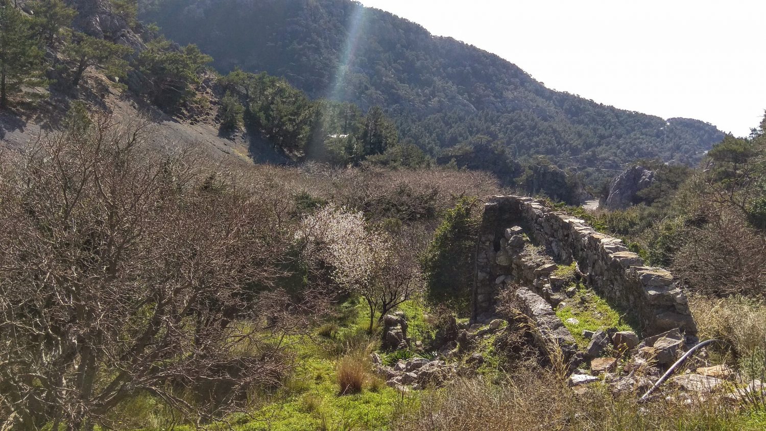
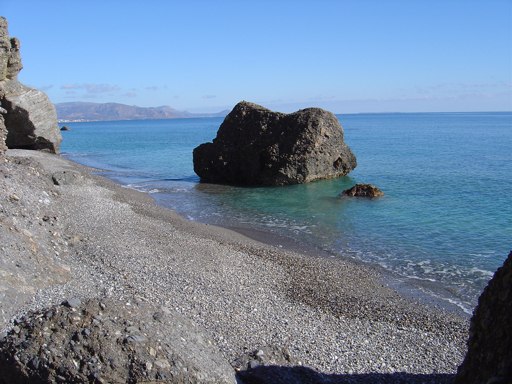
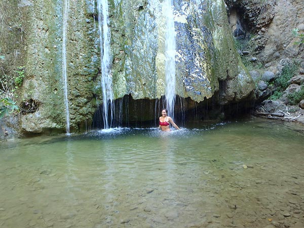
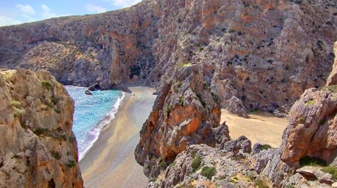
Many waters flow in this area for years feeding the main river that used to run many watermills, one of which can be seen at the start / end point. This is how the name of the ravine is deprived (Psichro means cold). Its course goes down to the sea and ends at the seaside in the area of Kakia Skala with a beautiful beach just before Ferma.
The whole route is 8 km with a degree of difficulty “easy” and takes about 3 hours to complete.
Additional Info
Altitude: Lowest point : 530 (Psichro forest – Agios Georgios chapel) – Highest point: 770 m
Starting Point: Agios Georgios chapel, close to the asphalt road
Path Type: Dirt road – No marks, No trail from Agios Georgios to the dirt road (West)
Difficulty: Moderate
Walk distance: 8 kms : 3-3,5 hours
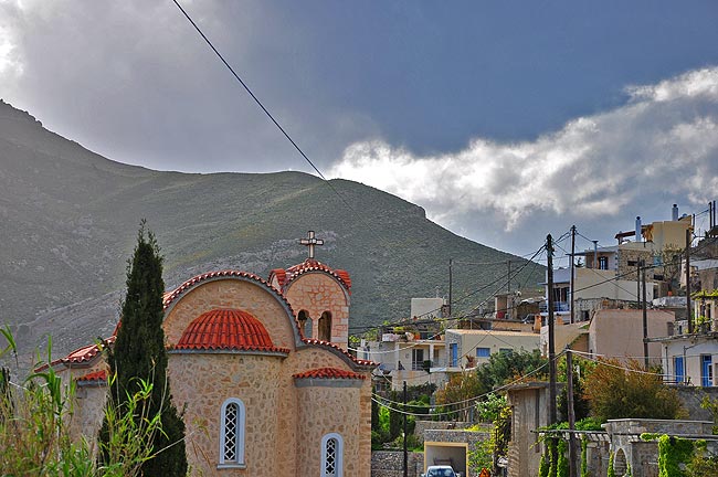
Agios Ioannis
Agios Ioannis is a small traditional village built at the slope of the hill "Katalimata" 500m above the sea level…
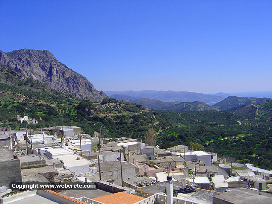
Schinokapsala
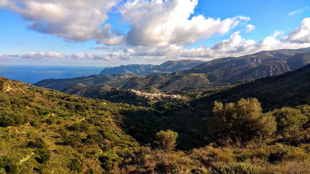
Combining the beauties of the mountain with those of the sea, the local community of Schinokapsala stands out for its…
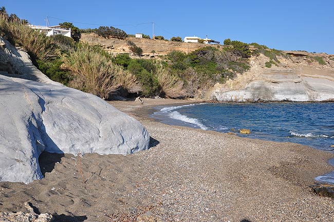
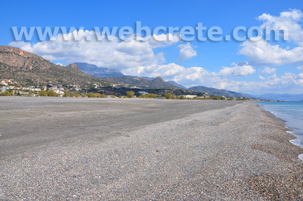
Pigadi Beach, Ferma
This beach is 100m east than Xerokamara Beach, 1500m east from Agia Fotia Beach and belongs to the Ferma group beaches. Shortly…
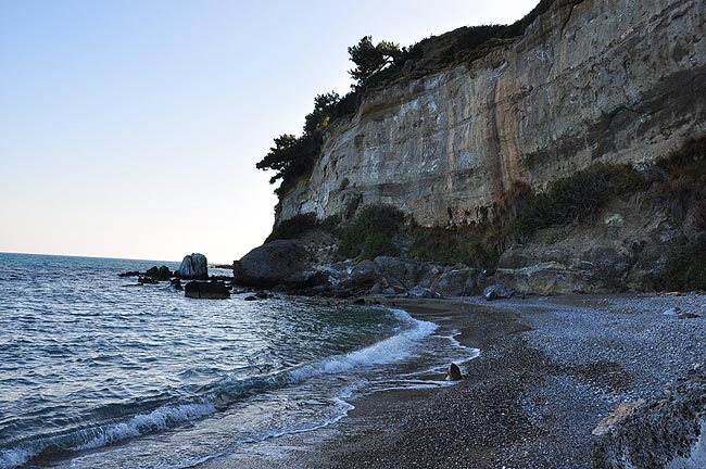
Xerokamara Beach, Ferma
This beach is 100m western than Pigadi Beach, 1700m east from Agia Fotia Beach and belongs to the Ferma group…
Agia Fotia
A famous and small touristic summer resort at the southern coastline (Libyan Sea) between Makri Gialos and Ierapetra. The beach…
Koutsounari Long Beach
Koutsounari is a small sea side village located 6km east of Ierapetra and 43km southeast of Agios Nikolaos, near the…
Orino or Butterfly Gorge
It's one of the most known gorges of south-east Crete (Makrigialos-Ierapetra area). Its entrance is at the little forest of…
Milonas Gorge
The Gorge of Milonas is located east of Ierapetra, north of the village of Ferma. It is not a very…
One of the most spectacular hikes of eastern Crete is the route of extremely beauty…
A small but impressive gorge 1 Km far from the Xerokambos settlement and beaches. Xerokambos…
Eastern Crete has dozens of enchanting and unknown destinations that "capture" every visitor, making him…
4 kms far from Palekastro and just 2 kms far from the famous beach of Hiona…
The route begins near the entrance of the gorge of Kato Zakros. There is a…
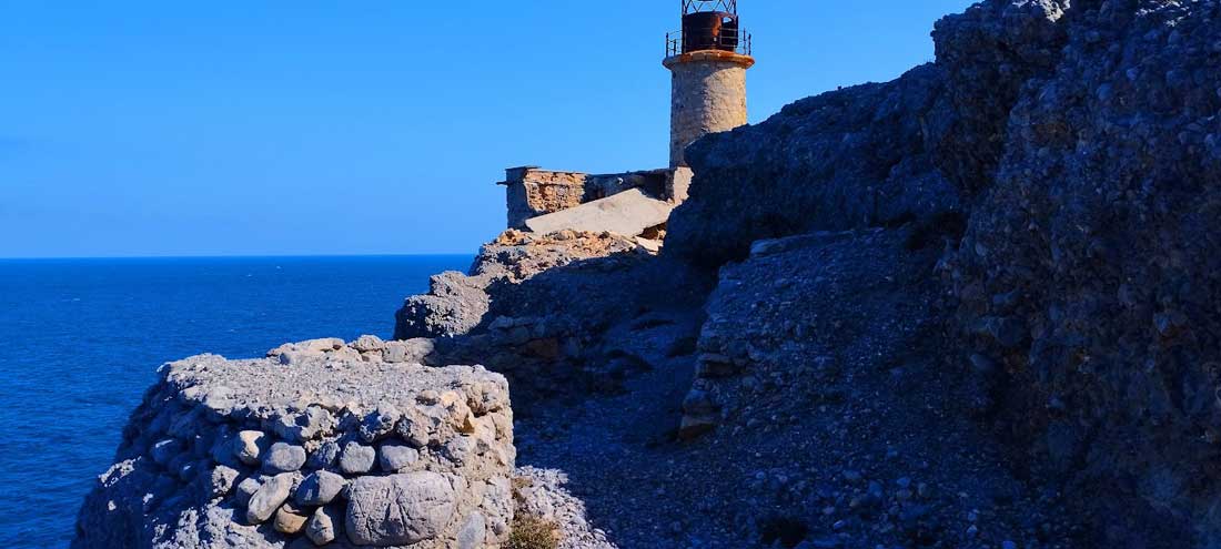
The lighthouse of Aforesmenos is located 27km north of Agios Nikolaos, 20km from Elounda, and…
An amazing route in the southern Lasithi mountains, moving at an altitude of 900-950m and…
An unknown but beautiful route through the western mountains of Sitia and the wider area…
Related Articles
This Post Has 0 Comments