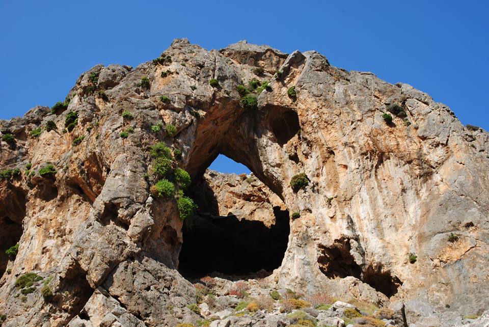
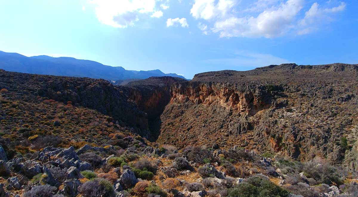
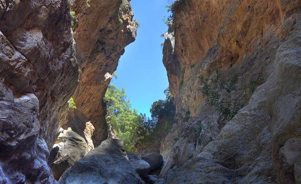
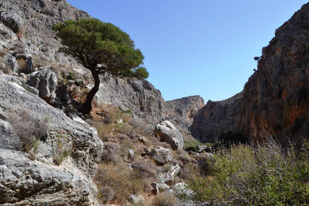
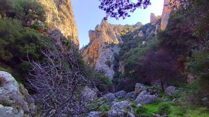
Adrianos Gorge in Lasithi: Crete’s Well-Kept Secret The Adrianos Gorge in Lasithi is one of…
Selakano-Lassithi e4 trail
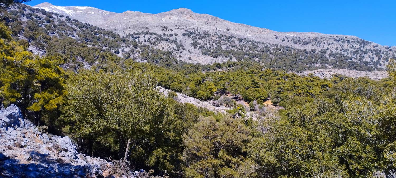
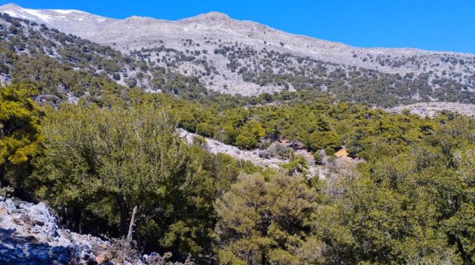
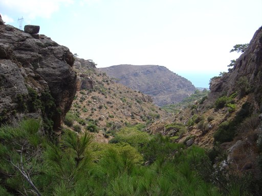
We start just outside the Selakano settlement at 880m, and we walk first through the village and orchards and before we pass the last houses we enter the amazing and unique pine forest which will accompany us for the next 3 km, i.e. about an hour’s hike up to about 1200m altitude.
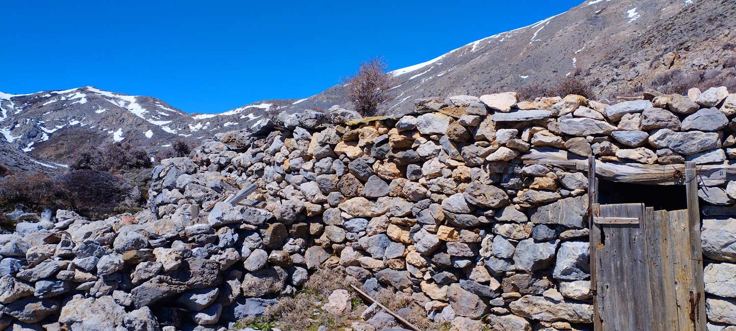
Then we pass through an area dominated by privies and maples until the location of Asfentami at 1630m. with the characteristic mitato (small shepherd’s stone-built house) with the spring and the water that runs normally throughout the summer even in the month of October.
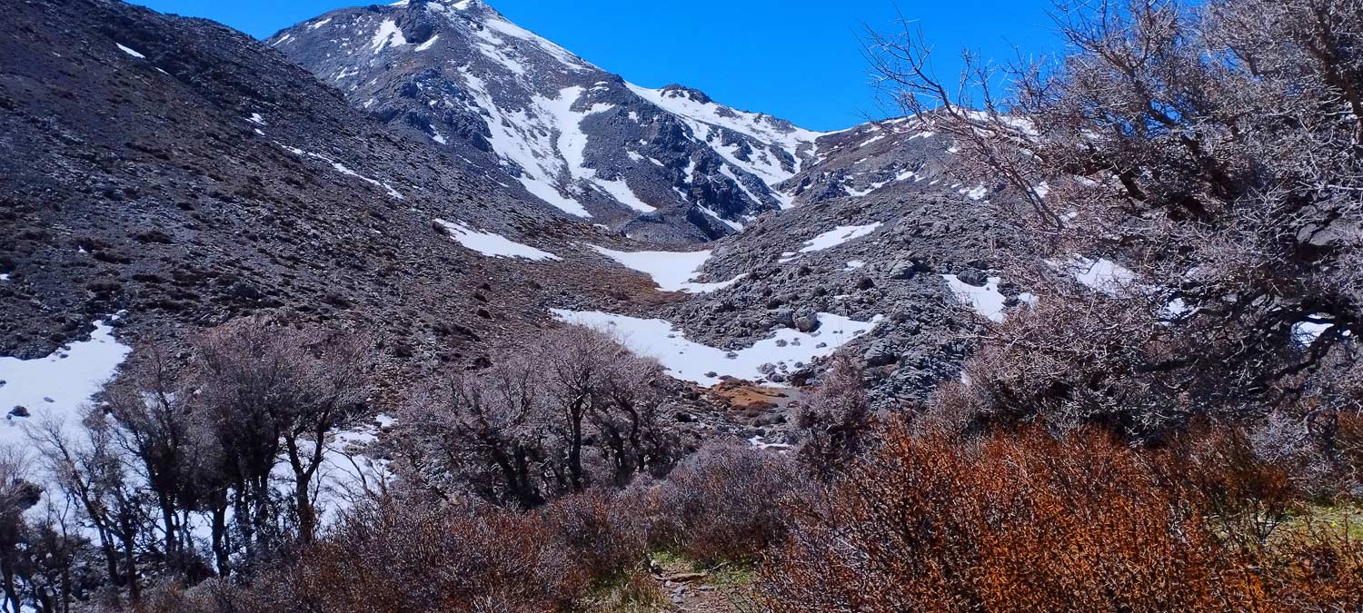
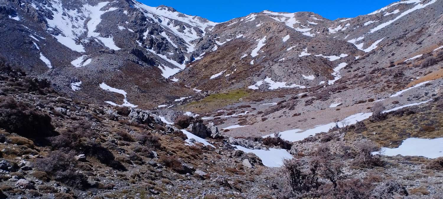
Always on clearly visible now Ε4 path we descend slightly to Lakko Ambelitsas, a small so to speak plateau hidden by the surrounding mountains and then begins the last part of the ascent to the Avarsami pass at 1805m. A bit tiring this leg but you are rewarded when you reach the saddle.
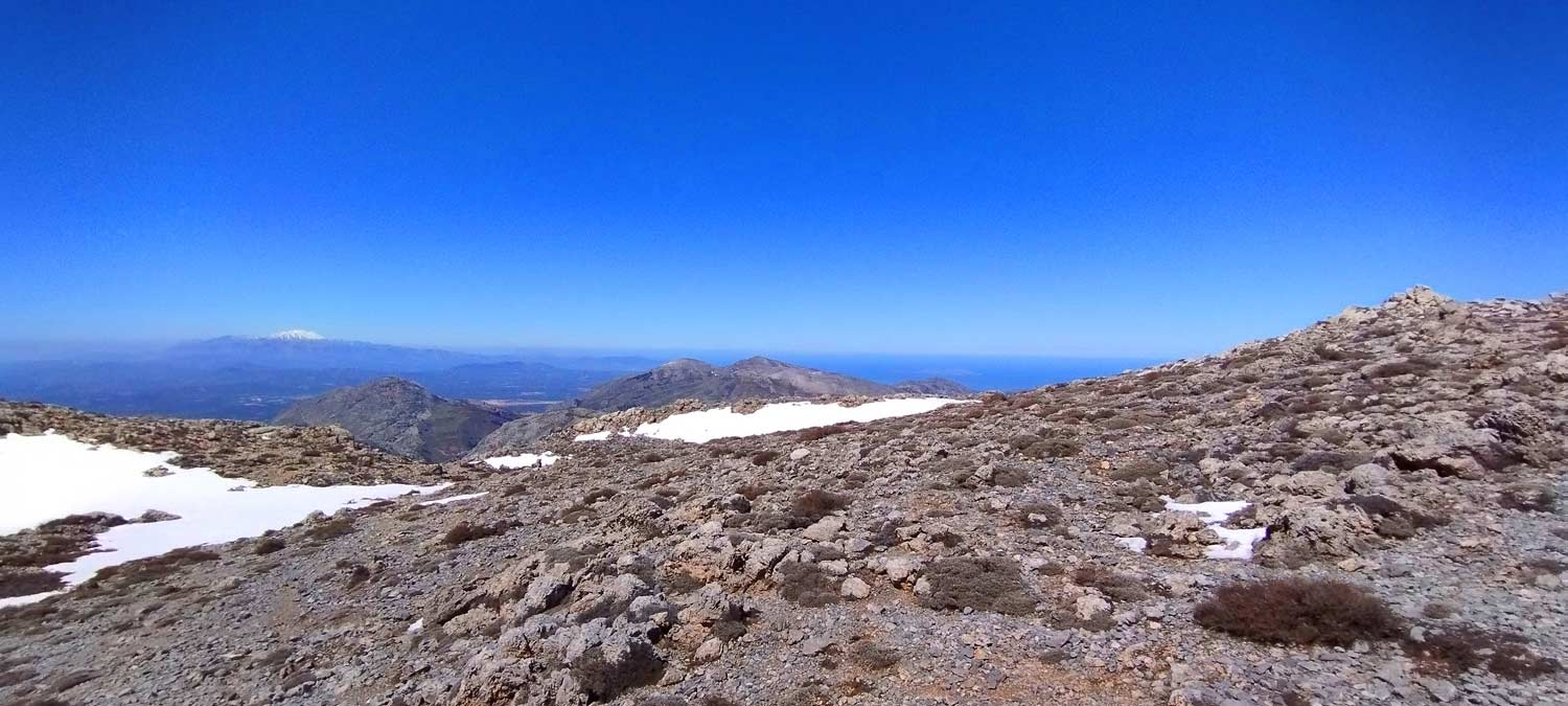
Very close to the saddle and before you reach the highest point, there is a path in a northerly direction that will take us to Spathi peak (2148m), the highest peak in the Lassithi mountains in 1 hour. Shortly after the saddle (as we proceed towards the Limnakaros plateau) there is a junction with the path heading south which leads us to the peak of Afentis Christos with the small church at the top, at 2142m, the 2nd highest peak in the Lassithi mountains
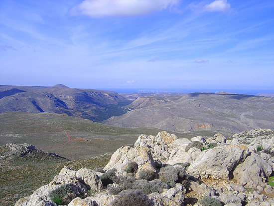
Here you can take a break and then there is a continuous descent always with the E4 path to Lasithi Plateau: Xirokambia, Potamos, Petrades and finally Agios Pneima.
The route as a whole is all on the E4, full of impressive mountain views, views in all directions, we walk in all kinds of terrain and conditions.
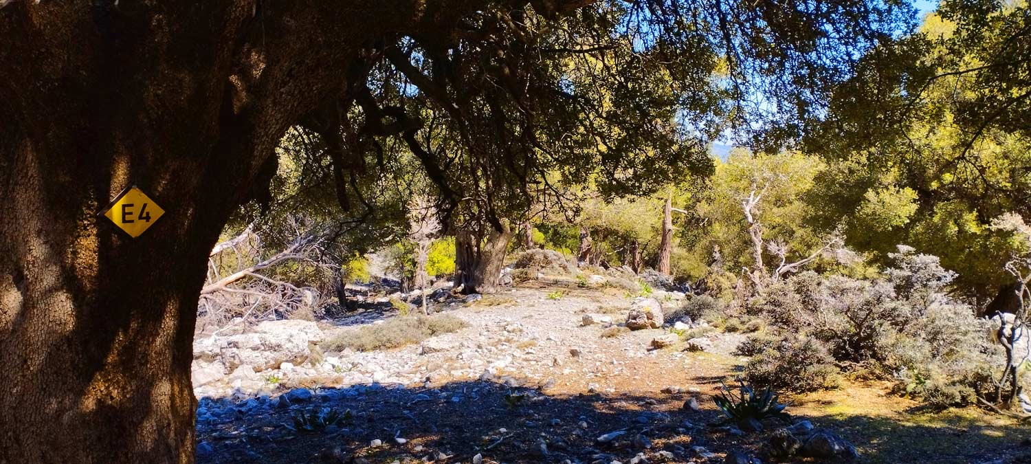
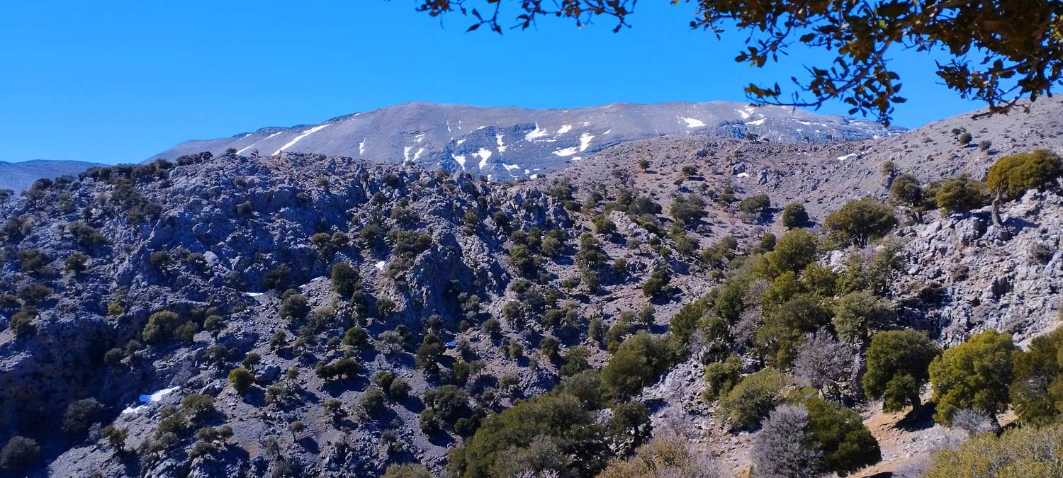
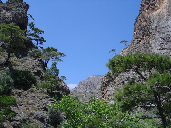
The path up to the point where the pine zone area stops and the cedars begin is relatively easy with good signage and several E4 signs on the pines. From here on there are red points on rocks which are not always clearly visible and you need to be careful not to lose the path. The terrain is particularly rocky and vigilance is required at least until we reach Asfentami mitato.
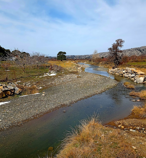
The trail from Selakano to the saddle will take us about 4 to 4.5 hours. There is plenty of water in the settlement of Selakano and also in Asfentami.
Additional Info
Altitude: Lowest point : 880 (Selakano Village) – Highest point: 1805 m (Avarsami pass)
Starting Point: Selakano Village
Path Type: At the beginning parts of dirt road – mountain path – Red marks, E4 marks on trees
Difficulty: Moderate
Walk distance: 9,7 km : 4-4,5 hours
Sitia Geopark
The Natural Park of Sitia is on the easternmost edge of Crete, in the Municipality of Sitia. It covers the…
Traostalos is one of the highest mountains near the coast of east Crete and is…
During summer, on a daily basis, cars occupied by Greek and overseas tourists arrive at Pefki…

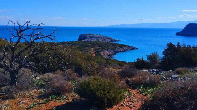
The island of Kolokytha or Vryonisi is located in the Gulf of Mirabello opposite the…
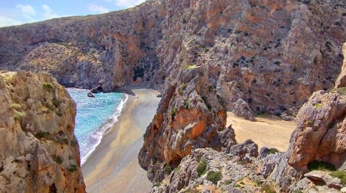
It's one of the most known gorges of south-east Crete (Makrigialos-Ierapetra area). Its entrance is…
An easy but spectacular route on the eastern side of the plateau. Almost the entire…
A small but impressive gorge 1 Km far from the Xerokambos settlement and beaches. Xerokambos…
16km west of Ierapetra is located the traditional village of Mythi or Mithi. In a…
The Chochlakies or Karoumes Gorge lies in the far east of the island, 8 kms…
Related Articles
This Post Has 0 Comments