
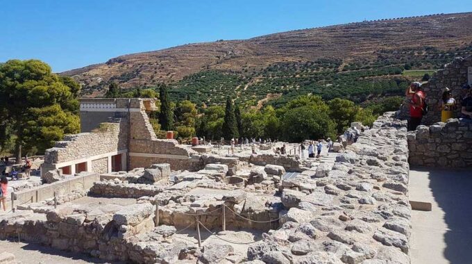
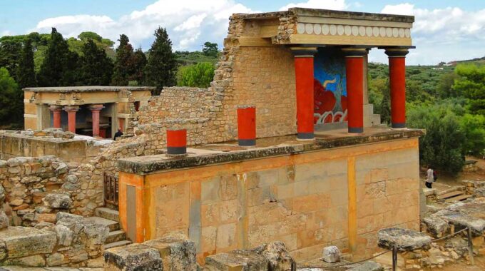
Expanding on the initial overview, the archaeological site of Knossos is a complex palatial city…
Lapathos Plateau
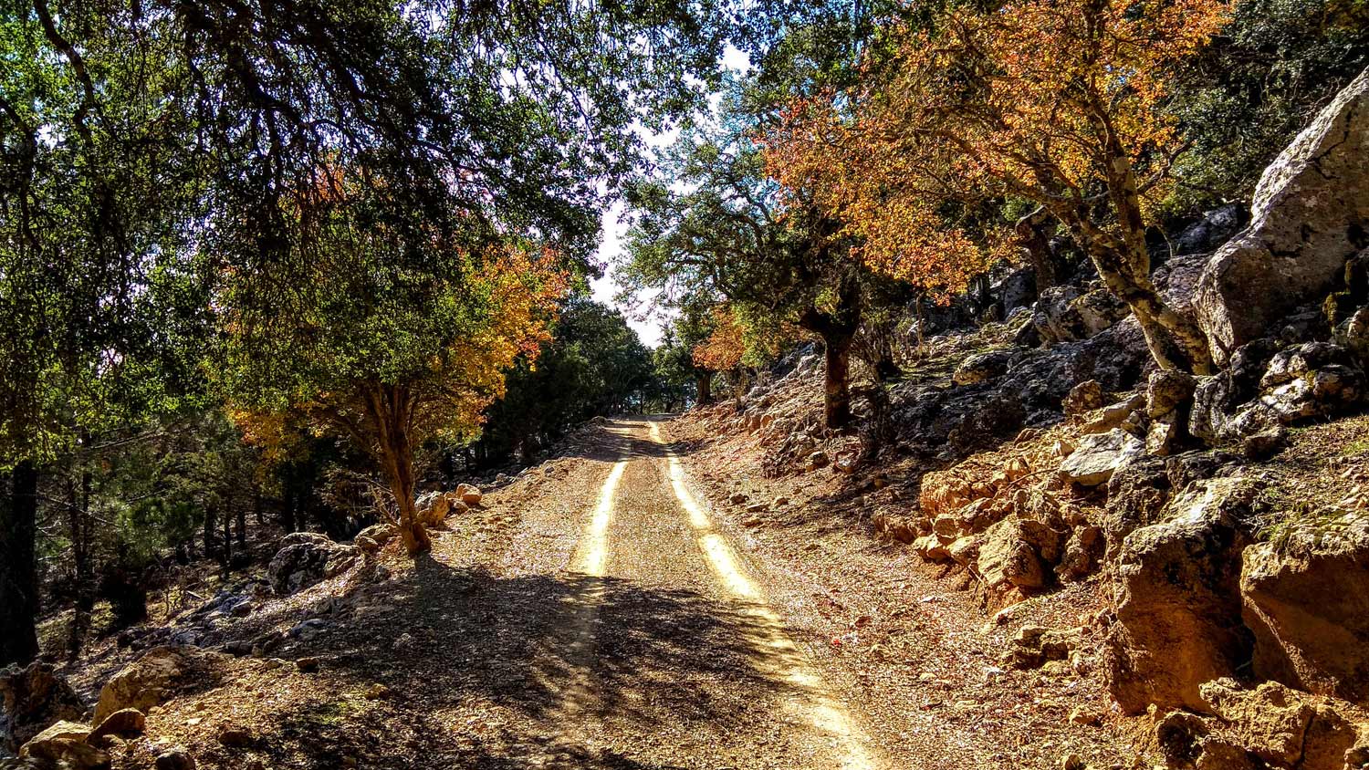
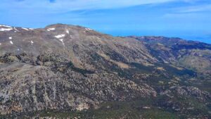
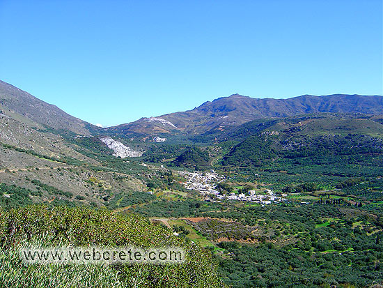
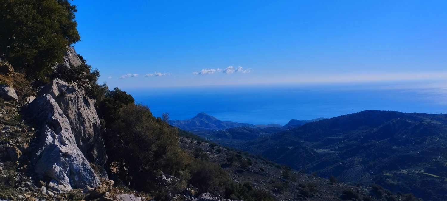
Lapathos Plateau is 9 kilometers far to east from Symi or Simi village in Lassithi prefecure at the southern slopes of Dikti mountains. It is a hidden and unknown area on the Lasithi mountains and you have access to the plateau from Simi Village through a new asphalt road for the first 6km and a dirt road for the next 5km (see the map below).
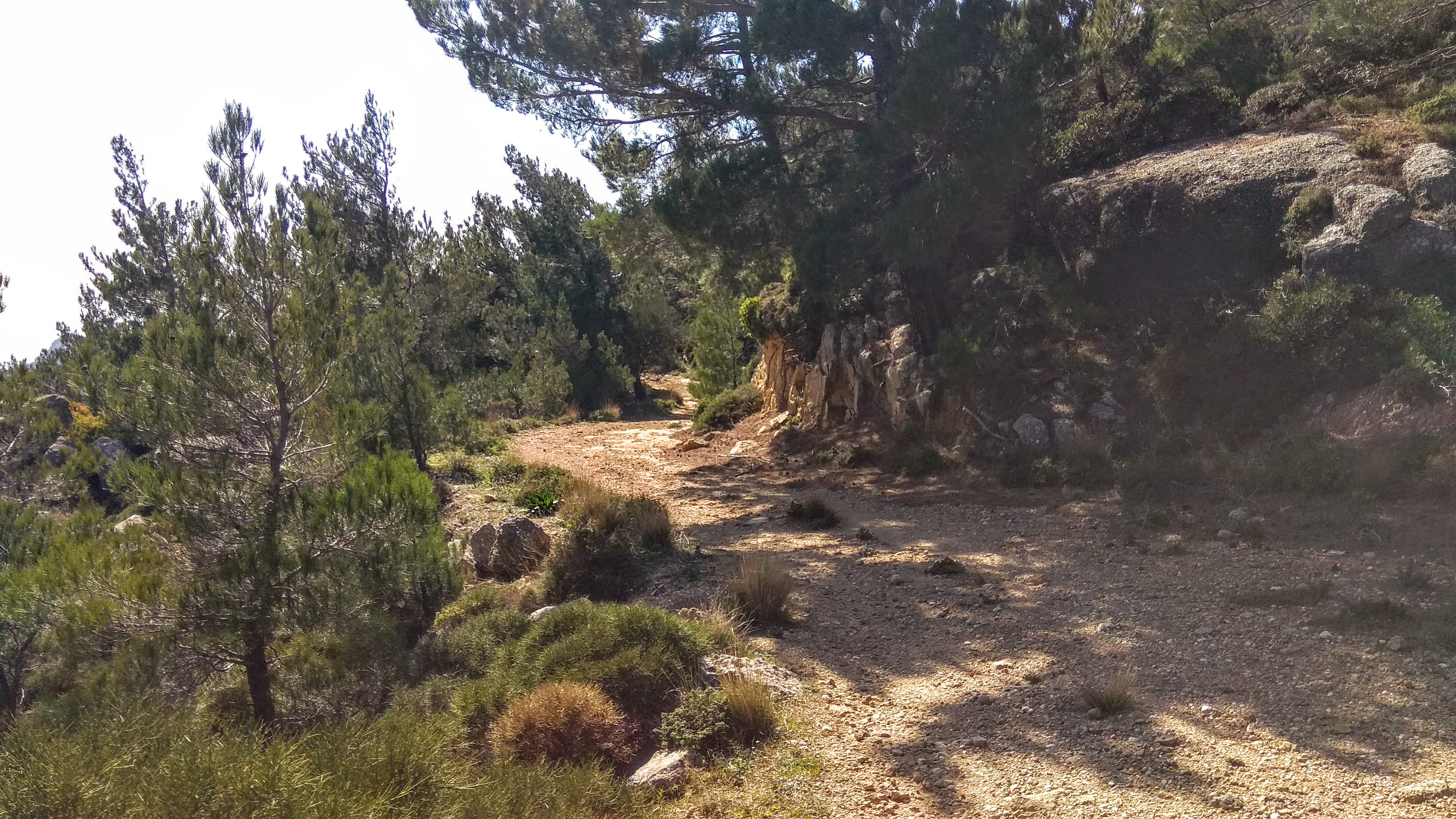
The plateau of Lapathos is one of the most beautiful areas in Crete, on the southern border of the county of Heraklion and Lasithi with Kato Simi village to belong in Heraklion and Pano Symi to Lasithi, and is located in the lap of the most dense and substantial pine forest of Crete together with the adjacent Selakano and Malles forests.
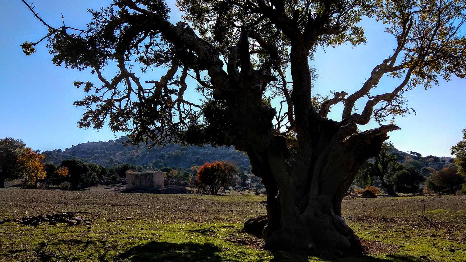
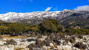
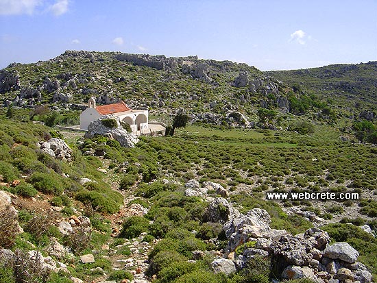
The whole region is full of water springs gushing from the slopes of Dikti mount. On the plateau you meet the churches of Panagia Galatoktismenis and Nistikoktismenis and St. George. The first so named because the chapel was built of mud and milk instead of water by fasting builders throughout construction. The church of St. George is situated about one kilometer outside the uninhabited settlement Apano Simi, at an altitude of 940 meters and has frescoes by Emmanuel Fokas from the mid 15th cent.
On the plateau is also a beautiful church of the Holy Apostles. The visitor can see numerous caves in the area, used by rebels in the past : the Zympraga Spiliaria , the Kissospilio, the cave Leri , the Spilio of Boubouli , the Spilio Riza and Spilio Chalavra.
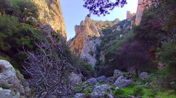
Holy Apostels Gorge
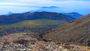
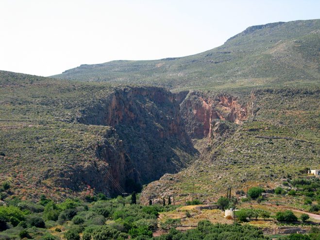
From Lapathos starts one of the most rugged canyons of Lassithi, the gorge of “Agion Apostolon”.
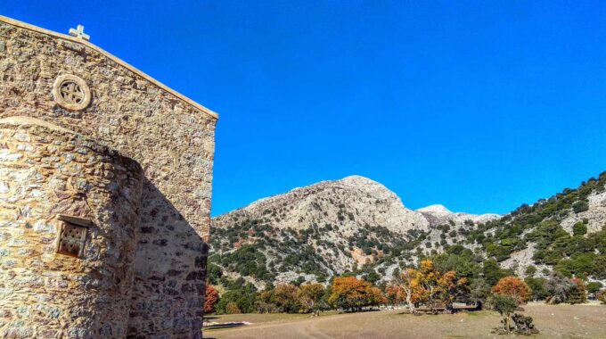
The Holy Apostles (Agii Apostoli) or Lapathos Gorge is situated on the southern part of Mount Dikti, 28km to the west of Ierapetra and 72km to the south of Heraklion, in the broader vicinity of the village of Kato Simi. This is a technical canyon, implying that crossing it necessitates technical gear and specific training. The Lapathos canyon is an ideal challenge for highly skilled canyoners. It spans approximately 4km and there is a height difference of about 900m between the start and finish points.
The canyon originates from the small plateau of Lapathos, where the Holy Apostles church stands, and concludes on the road that links the village of Pefkos with Ierapetra. Although it’s typically a dry canyon, in 2009, the team of seasoned canyoners Vassilis Vagias, Savvas Paragamian, and Giannis Skondinakis discovered it to contain surprisingly large amounts of water.
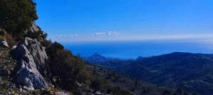
The gorge features 28 steep descents that demand excellent rappelling skills. The tallest rappel is 80m, making it one of the highest in all of Crete. The sheer walls of Lapathos serve as nesting grounds for a variety of birds including vultures, hawks, and crows. Towards the gorge’s exit, the vegetation is predominantly made up of pines and cypresses. Following the exit, the stream continues its journey to Tertsa beach.
Additional Info
Altitude: Lowest point : 1000 (Minoan Site) – Highest point: 1340 m (West end of Lapathos Plateau)
Starting Point: Kato Simi Village
Path Type: All distance on dirt roads
Difficulty: Easy
Walk distance (one-way): 6 km : 1 hours and 40 min
Just before the Lapathos plateau we head northeast on a dirt road and proceed uphill…
Walking on one of the most beautiful paths of eastern Crete, through black pine forests.…
Eastern Crete has dozens of enchanting and unknown destinations that "capture" every visitor, making him…

Lapathos Plateau is 9 kilometers far to east from Symi or Simi village in Lassithi…
Today the ascent was made from the Omalos Plateau of Viannos which is at an…
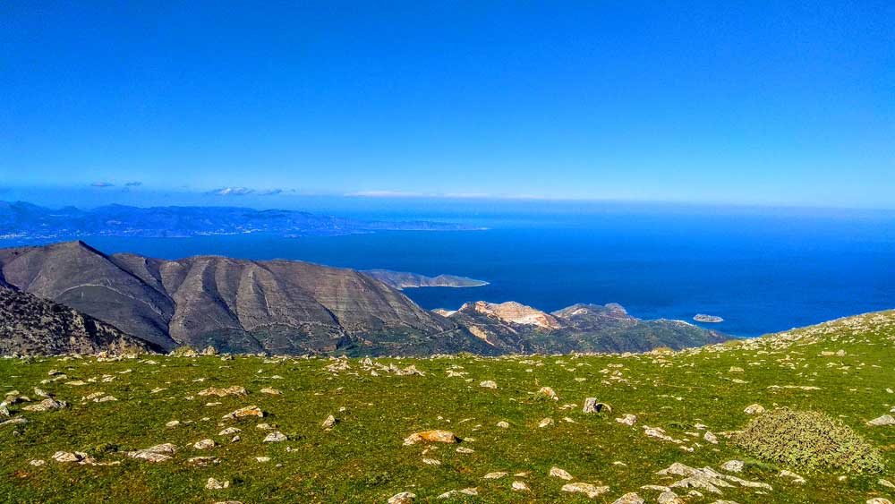
An amazing route in the southern Lasithi mountains, moving at an altitude of 900-950m and…
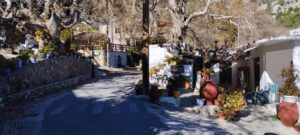
Kato Symi (or Simi) is a village and seat of the homonymous community of the…
One of the most spectacular hikes of eastern Crete is the route of extremely beauty…
The route Chrisopigi –Bebonas– Kavousi is easy to pass and we walk on a dirt…
Kritsa is one of the oldest and most picturesque villages in Crete, Greece, built amphitheatrically…
A beautiful route through the pine forest of Psichro, Agios Ioannis about 20 km east…
The small plateau of Monokara is located on Mount Ornos, at an altitude of approximately…
About 1,5 km to east of the village of Zakros, starts the Gorge, which ends at…
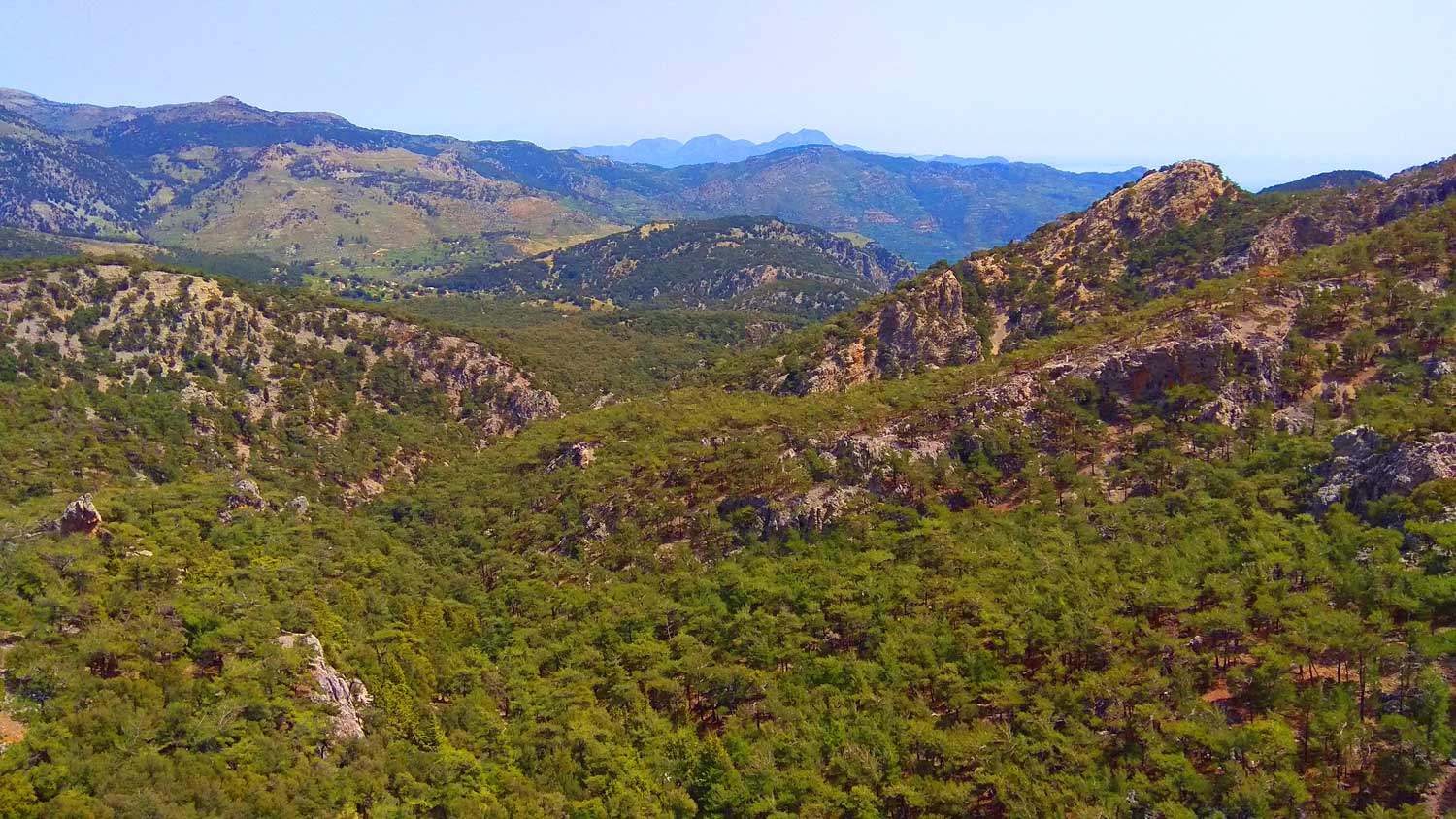
It is another unknown but beautiful route in the forest of Selakano. This time we…
An amazing route in the southern Lasithi mountains, moving at an altitude of 900-950m and…
Related Articles
This Post Has 0 Comments