Adrianos Gorge in Lasithi: Crete’s Well-Kept Secret The Adrianos Gorge in Lasithi is one of…
Bufanis Gorge, Selakano Valley
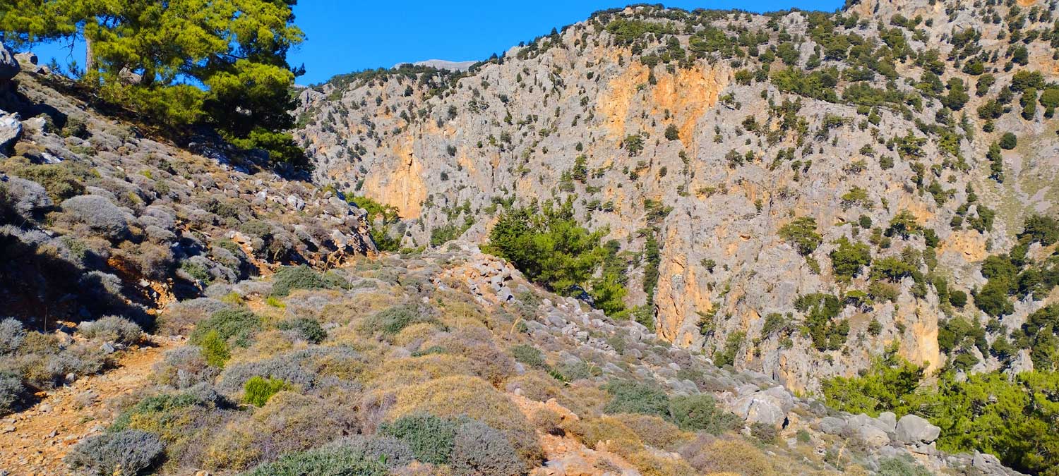
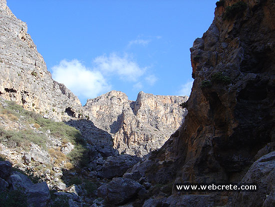
The hike starts from the picturesque settlement of Metaxochori at 550m altitude. The approach to this settlement is from Ierapetra – Myrtos – Males – Metaxochori and is 28km or about 45 minutes driving. The Malles-Metaxochori section is particularly impressive since the road hangs over the eastern exit of the Bufani gorge.
In Metaxochori we start from the church of Agios Nikolaos which is located in the thinnest part of the village and for 1 km we walk on an old abandoned dirt road that leads us to the forest and inside the gorge from its southern side.
Just before the end of the road we will see on our left the path that clearly begins to climb the slope in a westerly direction.
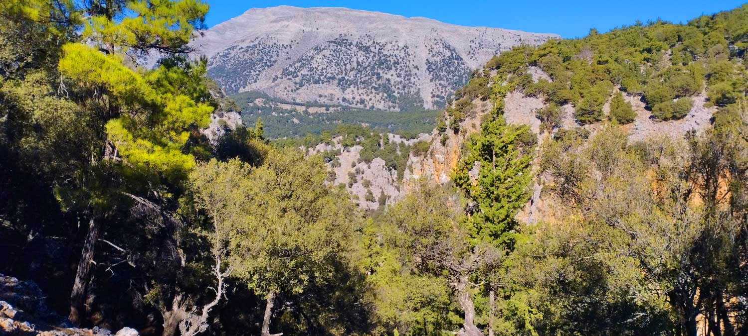
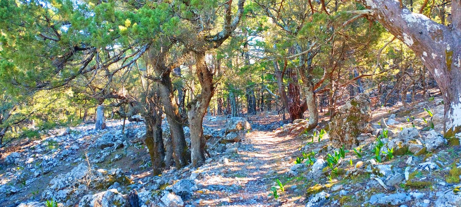
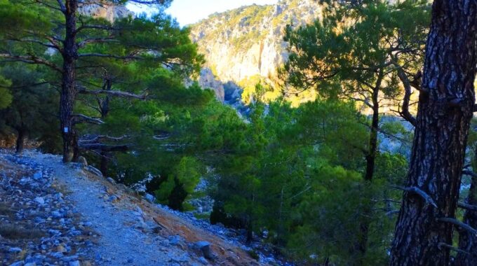
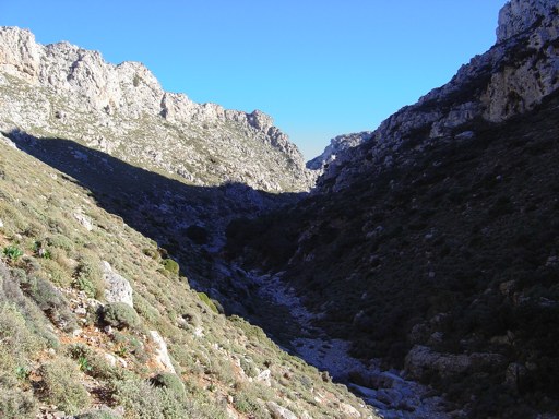
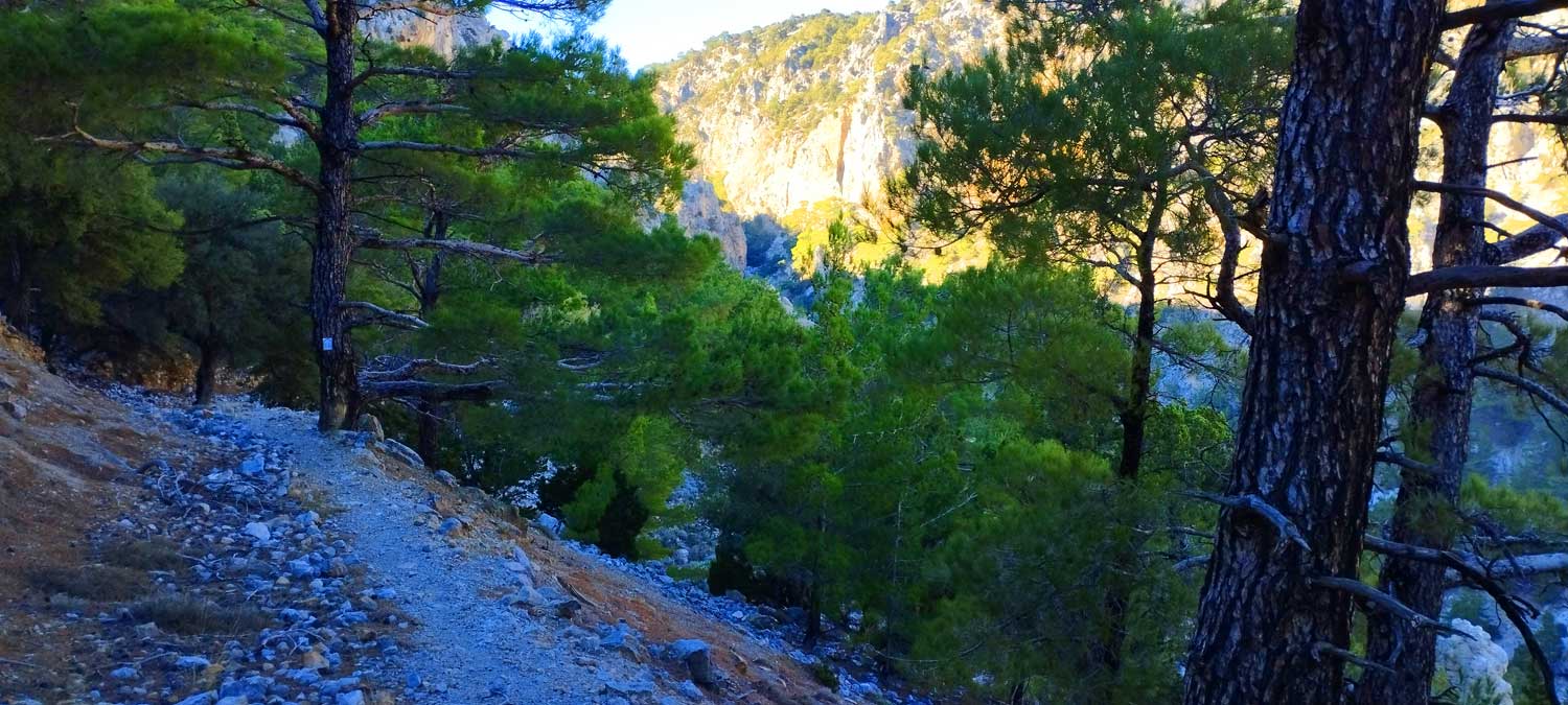
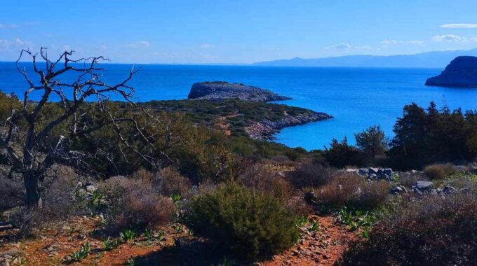
We continue to follow the old path that unfolds high above the left side of the canyon, enjoying the unique view of the canyon below us with the imposing formations of the surrounding rocks. From the moment we enter the forest, we walk permanently in the shade, under the dense, towering pines.
All the way the path is well formed, well signposted and you will hardly get confused whether you decide to head to Selakano (north-east) or to the settlement of Mino (south and south-east).
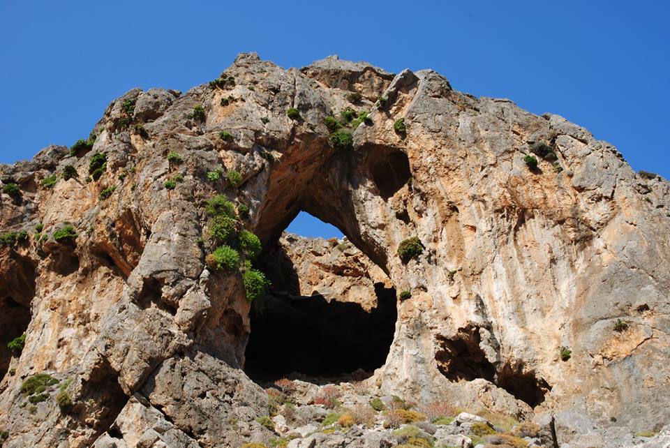
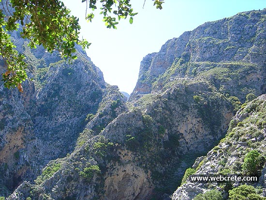
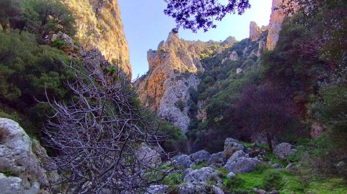
The gorge is called Bufani, but it is also called Gypaetons or Psoriari. So after entering the forest of Selakano for good, we quickly climb to an altitude and soon we reach the source of the water where the crossing we mentioned earlier is. It goes southwest to Skafida and north to Selakano village, which route we also followed.
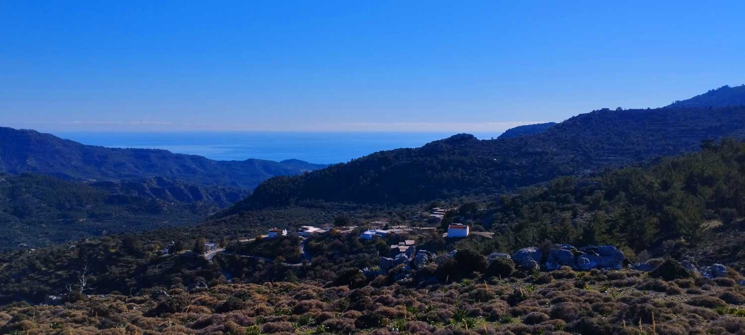
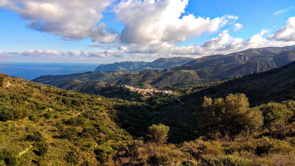
The source is also the highest point of the route (979m) and from that point we go up and down the smaller ravines of the forest until shortly, still in this amazing forest, we will see the first houses of Selakano village.
Additional Info
Altitude: Lowest point : 590 (Metaxochori Village) – Highest point: 979 m (Spring)
Starting Point: Agios Nikolaos chapel at Metaxochori Village
Path Type: At the beginning (2km) parts of dirt road – After on mountain path – marks on trees
Difficulty: Easy
Walk distance: 6,6 km : 2-2,5 hours
Sitia Geopark
The Natural Park of Sitia is on the easternmost edge of Crete, in the Municipality of Sitia. It covers the…
Agiofarago is more than just a beach; it is an experience that begins the moment…
A very beautiful gorge close to the well known monastery of Kapsa in South-eastern Crete…
It is the most unknown gorge of Palekastro - Zakros region. Its exit is just 1…
An unknown but beautiful route through the western mountains of Sitia and the wider area…
Walking on one of the most beautiful paths of eastern Crete, through black pine forests.…
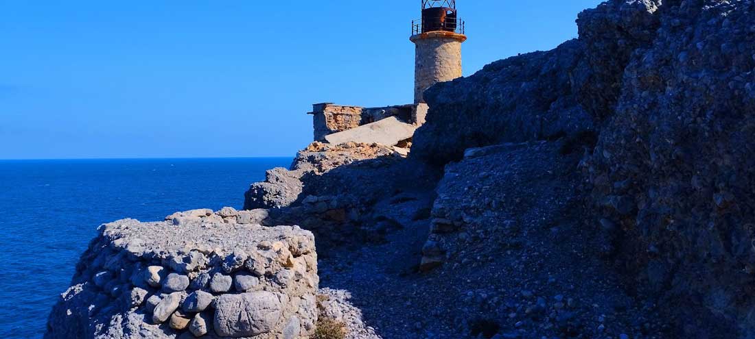
The lighthouse of Aforesmenos is located 27km north of Agios Nikolaos, 20km from Elounda, and…
This route which we recommend is one of the most exciting hikes in eastern Crete…
The hike starts from the picturesque settlement of Metaxochori at 550m altitude. The approach to…
Related Articles
This Post Has 0 Comments